Gepubliceerd door Snow-Forecast.com om:7 am (lokale tijd) / 22 Jul 2026
Laatste 6 dagenScroll naar links voor de laatste 6 dagenNu
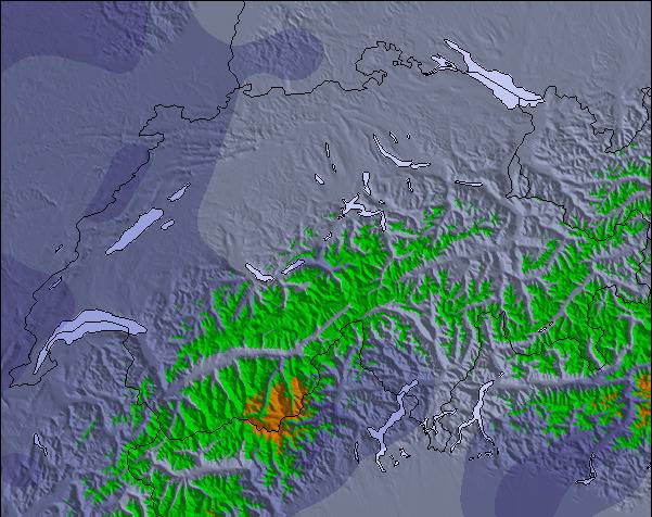
Next 3 days weather summary:
Meestal droog. Bevriezen-ontdooien voorwaarden (max 5°C op vrijdagmiddag, min -1°C op woensdagochtend). Wind zal licht zijn over het algemeen.
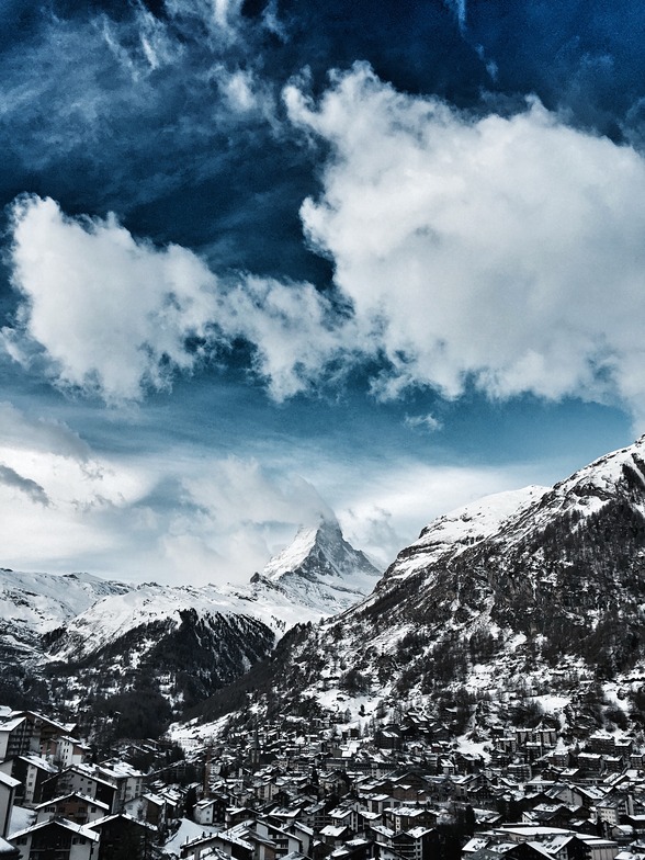
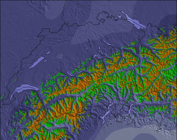
Dagen 4-6 Zermatt Weerssamenvatting
Eerst mild met lichte regen (totaal 3.0mm) op zaterdagmiddag gevolgd door kouder weer en lichte sneeuwval, zwaarste op zaterdagavond. Bevriezen-ontdooien voorwaarden (max 5°C op zaterdagochtend, min -2°C op zaterdagavond). Wind zal licht zijn over het algemeen.
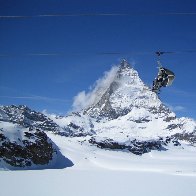
De bovenstaande tabel toont de weersverwachting voor Zermatt op een specifieke hoogte van 3820 m. Onze uiterst precieze weermodellen berekenen sneeuwverwachtingen voor de top, midden en dalstations van Zermatt. Voor weersverwachtingen op andere hoogtes, gebruik de tabbladen boven de tabel. Voor meer weer overzicht, zie de weerkaart van Switzerland.
Klik hier voor meer informatie over sneeuwhoogten en hoe we onze temperaturen berekenen.
Recensies van bezoekers van Zermatt
Algemeen 4.1 Gebaseerd op 92 Stem(men) en 72 beoordelingen
I have read many glowing reports about Zermatt, focussing on the quality of the pistes, the scenery and the lift systems. Whilst I really enjoyed skiing here a couple of downsides are not mentioned. First, it takes a long time to access the pistes via bus and then lift system can take up to an hour. If you are an average intermediate then skiing back to resort is not an option so the runs are heavily limited. Secondly, in early season until end Jan the lifts close around 3.30 pm, which means a short day, making catching the last lift to the top a real necessity. I would recommend it with these caveats but go with open eyes so as not to be short changed.
Algemeen: 4.1 Gebaseerd op 92 Stem(men) en 72 beoordelingen
Sneeuwzekerheid
4.6
Piste Vercheidenheid
4.7
Off-Piste
4.1
Landschap
4.9
Na het Skiën
4.3
Julian Davis van Switzerland schrijft:
I have read many glowing reports about Zermatt, focussing on the quality of the pistes, the scenery and the lift systems. Whilst I really enjoyed skiing here a couple of downsides are not mentioned. First, it takes a long time to access the pistes via bus and then lift system can take up to an hour. If you are an average intermediate then skiing back to resort is not an option so the runs are heavily limited. Secondly, in early season until end Jan the lifts close around 3.30 pm, which means a short day, making catching the last lift to the top a real necessity. I would recommend it with these caveats but go with open eyes so as not to be short changed.
Gratis Snow-Forecast.com weer-widget voor op je website
De skiweer-widget voor Zermatt is beschikbaar om gratis op te nemen op externe websites. De widget levert een dagelijkse samenvatting van onze sneeuwverwachtingen voor Zermatt en de huidige weersomstandigheden daar. Ga naar de configuratiepagina en volg de drie eenvoudige stappen om de aangepaste html-code te kopiëren en in uw site te plakken. U kunt de hoogte van de sneeuwvoorspelling kiezen (top, midden van de berg of dalstation) en metrische of imperiale eenheden voor de sneeuwverwachting, aangepast op uw eigen website…. Klik hier om de code te krijgen.


 Nearest