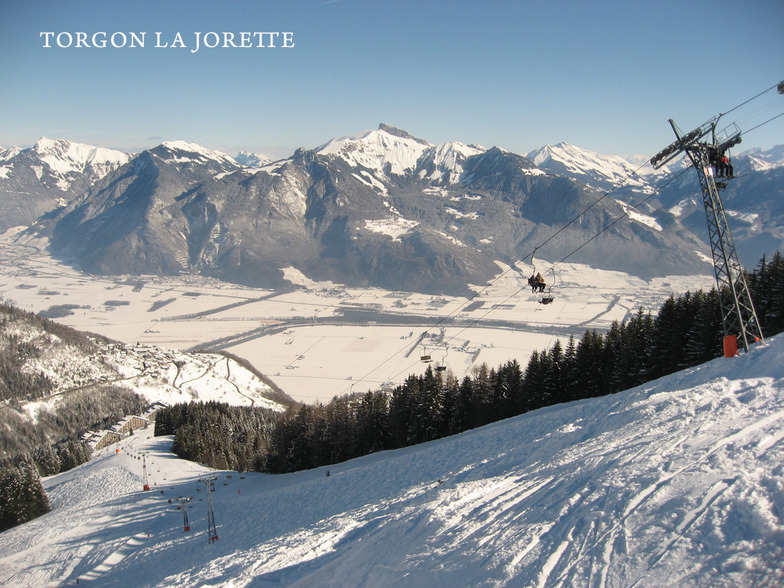
Sneeuwvoorspelling voor Torgon-Les Portes du Soleil op2613m hoogte
Uitgegeven: 7 am 15 Jul 2026 (lokale tijd)
Sneeuwvoorspelling bijgewerkt uur min
View forecast
Torgon-Les Portes du Soleilat 2613 m hoogte
Gepubliceerd door Snow-Forecast.com om:7 am (lokale tijd) / 15 Jul 2026
Laatste 6 dagenScroll naar links voor de laatste 6 dagenNu
Next 3 days weather summary:
Zware regen (totaal 22.0mm), zwaarst tijdens woensdagavond. Zeer milde (max 14°C op woensdagmiddag, min 7°C op vrijdagavond). Wind zal licht zijn over het algemeen.
Dagen 4-6 Torgon-Les Portes du Soleil Weerssamenvatting
Matige regen (totaal 17.0mm), zwaarst op zondagochtend. Milde temperaturen (max 9°C op zaterdagmiddag, min 5°C op zondagmiddag). Wind zal licht zijn over het algemeen.
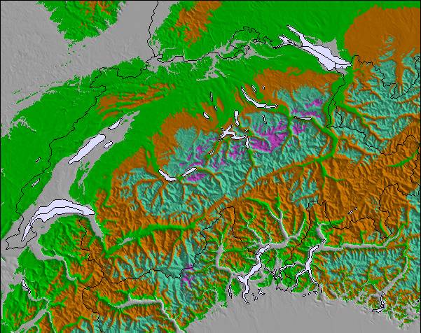
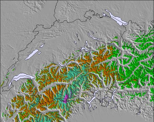
De bovenstaande tabel toont de weersverwachting voor Torgon-Les Portes du Soleil op een specifieke hoogte van 2613 m. Onze uiterst precieze weermodellen berekenen sneeuwverwachtingen voor de top, midden en dalstations van Torgon-Les Portes du Soleil. Voor weersverwachtingen op andere hoogtes, gebruik de tabbladen boven de tabel. Voor meer weer overzicht, zie de weerkaart van Switzerland.
Klik hier voor meer informatie over sneeuwhoogten en hoe we onze temperaturen berekenen.
Recensies van bezoekers van Torgon-Les Portes du Soleil
Algemeen 3.9 Gebaseerd op 11 Stem(men) en 9 beoordelingen
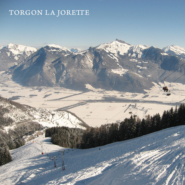
In Torgon de voorjaarsvakantie 2013 doorgebracht tijdens een ongelooflijk fraaie zonnige week met extreem veel sneeuw. Geen wachttijden bij de liften. Top geprepareerde pistes. Het mooie van Torgon zijn de uitdagende pistes. Het is niet nodig de portes du soleil in te trekken. Genoeg variatie in Torgon. La Jorette is een uitdagende piste met een fraaie hellingshoek. Le Djeu des Tetes is iets eenvoudiger maar ook spannend genoeg. Le Tronchey is zeer uitdagend. Mijn idee steiler dan de muur bij Crosets. Dan de Braitaz bij Chapelle. Vol op de zon met in het begin een schitterende helling om te carven. In Torgon genoeg tentjes om te lunchen. Le Tseudron, La Bourri, Le Mousseron, Les Aiguilletes, La Panoramique (met uitzicht over het meer van Geneve). Apres-ski in Le Perroquet of de Chocolat-Bar of Le Verre a Soi, Les Caprins. 2 snowparks op Le Braitaz en Djeu des Tetes. Kortom genoeg voorh et hele gezin. Absolute aanrader. Job
Recensies van bezoekers van Torgon-Les Portes du Soleil
Algemeen: 3.9 Gebaseerd op 11 Stem(men) en 9 beoordelingen
Sneeuwzekerheid
3.6
Piste Vercheidenheid
4.5
Off-Piste
4.1
Landschap
4.4
Na het Skiën
3.2
Job van The Netherlands schrijft:
In Torgon de voorjaarsvakantie 2013 doorgebracht tijdens een ongelooflijk fraaie zonnige week met extreem veel sneeuw. Geen wachttijden bij de liften. Top geprepareerde pistes. Het mooie van Torgon zijn de uitdagende pistes. Het is niet nodig de portes du soleil in te trekken. Genoeg variatie in Torgon. La Jorette is een uitdagende piste met een fraaie hellingshoek. Le Djeu des Tetes is iets eenvoudiger maar ook spannend genoeg. Le Tronchey is zeer uitdagend. Mijn idee steiler dan de muur bij Crosets. Dan de Braitaz bij Chapelle. Vol op de zon met in het begin een schitterende helling om te carven. In Torgon genoeg tentjes om te lunchen. Le Tseudron, La Bourri, Le Mousseron, Les Aiguilletes, La Panoramique (met uitzicht over het meer van Geneve). Apres-ski in Le Perroquet of de Chocolat-Bar of Le Verre a Soi, Les Caprins. 2 snowparks op Le Braitaz en Djeu des Tetes. Kortom genoeg voorh et hele gezin. Absolute aanrader. Job
Gratis Snow-Forecast.com weer-widget voor op je website
De skiweer-widget voor Torgon-Les Portes du Soleil is beschikbaar om gratis op te nemen op externe websites. De widget levert een dagelijkse samenvatting van onze sneeuwverwachtingen voor Torgon-Les Portes du Soleil en de huidige weersomstandigheden daar. Ga naar de configuratiepagina en volg de drie eenvoudige stappen om de aangepaste html-code te kopiëren en in uw site te plakken. U kunt de hoogte van de sneeuwvoorspelling kiezen (top, midden van de berg of dalstation) en metrische of imperiale eenheden voor de sneeuwverwachting, aangepast op uw eigen website…. Klik hier om de code te krijgen.


 Nearest