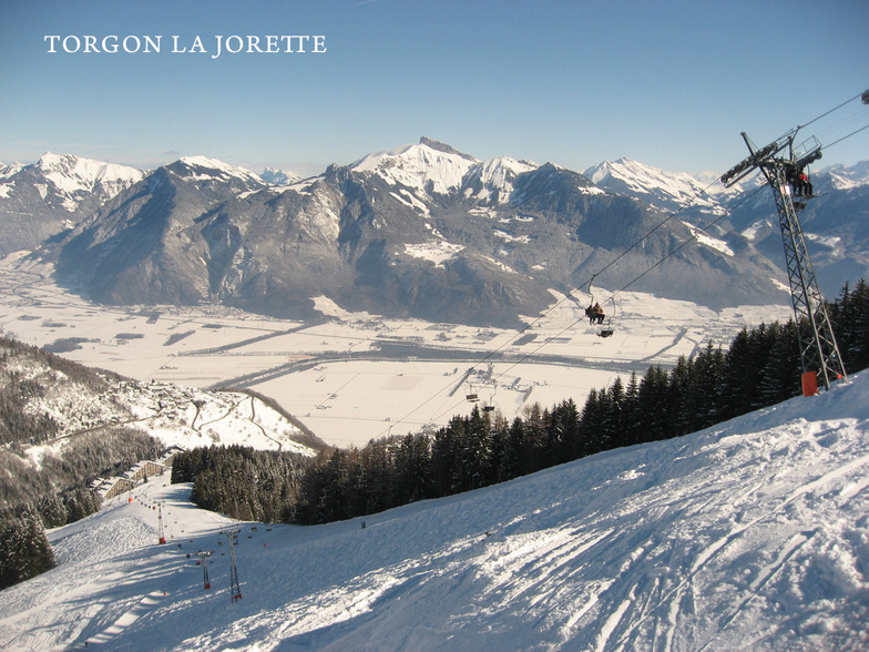
Sneeuwvoorspelling voor Torgon-Les Portes du Soleil op1945m hoogte
Uitgegeven: 7 am 15 Jul 2026 (lokale tijd)
Sneeuwvoorspelling bijgewerkt uur min
View forecast
Torgon-Les Portes du Soleilat 1945 m hoogte
Gepubliceerd door Snow-Forecast.com om:7 am (lokale tijd) / 15 Jul 2026
Laatste 6 dagenScroll naar links voor de laatste 6 dagenNu
Next 3 days weather summary:
Zware regen (totaal 22.0mm), zwaarst tijdens woensdagavond. Warm (max 20°C op woensdagmiddag, min 12°C op vrijdagavond). Wind zal licht zijn over het algemeen.
Dagen 4-6 Torgon-Les Portes du Soleil Weerssamenvatting
Matige regen (totaal 18.0mm), zwaarst op zondagochtend. Zeer milde (max 15°C op zaterdagmiddag, min 9°C op zondagavond). Wind zal licht zijn over het algemeen.
De bovenstaande tabel toont de weersverwachting voor Torgon-Les Portes du Soleil op een specifieke hoogte van 1945 m. Onze uiterst precieze weermodellen berekenen sneeuwverwachtingen voor de top, midden en dalstations van Torgon-Les Portes du Soleil. Voor weersverwachtingen op andere hoogtes, gebruik de tabbladen boven de tabel. Voor meer weer overzicht, zie de weerkaart van Switzerland.
Klik hier voor meer informatie over sneeuwhoogten en hoe we onze temperaturen berekenen.
Recensies van bezoekers van Torgon-Les Portes du Soleil
Algemeen 3.9 Gebaseerd op 11 Stem(men) en 9 beoordelingen
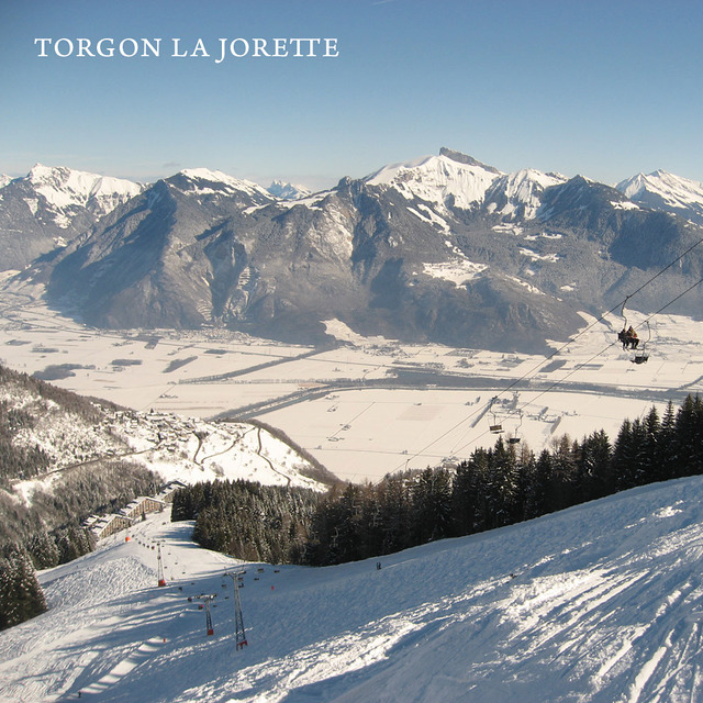
Torgon has really got it's act together and is now a smashing little starting off point for the whole Portes du Soleil.
There is now a very regular navette to the main plain du croix ski area from the La Jorette village; something that was lacking in previous years.
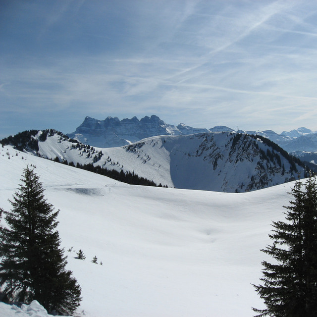
When the snow comes, it has to be one of the best places in the whole domain. Lots of relatively untouched powdery runs await. While Chatel, Avoriaz and Les Gets are easily accessible and not to be missed, some of the nicest runs are towards La Chapelle.
When snow cover is poor, take the main Trenchey lift and head towards Chatel and beyond.
There is a new restaurant that seems to be an upmarket steak house and in the old village, the hotel de Torgon serves nice Belgian beer.
Beware that Torgon is very small and if it is closed for lack of snow early or late in the season there is not a lot to do! But if you have a car, you can still wind your way round the mountain to higher-up Champery and its cable car, so you will get some skiing. Torgon's relatively low altitude means this drive only takes about 45-50 mins.
Recensies van bezoekers van Torgon-Les Portes du Soleil
Algemeen: 3.9 Gebaseerd op 11 Stem(men) en 9 beoordelingen
Sneeuwzekerheid
3.6
Piste Vercheidenheid
4.5
Off-Piste
4.1
Landschap
4.4
Na het Skiën
3.2
peter van Belgium schrijft:
Torgon has really got it's act together and is now a smashing little starting off point for the whole Portes du Soleil.
There is now a very regular navette to the main plain du croix ski area from the La Jorette village; something that was lacking in previous years.
When the snow comes, it has to be one of the best places in the whole domain. Lots of relatively untouched powdery runs await. While Chatel, Avoriaz and Les Gets are easily accessible and not to be missed, some of the nicest runs are towards La Chapelle.
When snow cover is poor, take the main Trenchey lift and head towards Chatel and beyond.
There is a new restaurant that seems to be an upmarket steak house and in the old village, the hotel de Torgon serves nice Belgian beer.
Beware that Torgon is very small and if it is closed for lack of snow early or late in the season there is not a lot to do! But if you have a car, you can still wind your way round the mountain to higher-up Champery and its cable car, so you will get some skiing. Torgon's relatively low altitude means this drive only takes about 45-50 mins.
Gratis Snow-Forecast.com weer-widget voor op je website
De skiweer-widget voor Torgon-Les Portes du Soleil is beschikbaar om gratis op te nemen op externe websites. De widget levert een dagelijkse samenvatting van onze sneeuwverwachtingen voor Torgon-Les Portes du Soleil en de huidige weersomstandigheden daar. Ga naar de configuratiepagina en volg de drie eenvoudige stappen om de aangepaste html-code te kopiëren en in uw site te plakken. U kunt de hoogte van de sneeuwvoorspelling kiezen (top, midden van de berg of dalstation) en metrische of imperiale eenheden voor de sneeuwverwachting, aangepast op uw eigen website…. Klik hier om de code te krijgen.


 Nearest