comScore pixel
Sneeuw van skigebied Chandolin
Ski Switzerland

Chandolin Sneeuwverwachting

46.25° N 7.58° E

Weersvoorspelling voor Chandolin op 3001 m hoogte

Nieuwe sneeuw in Chandolin:
1.1 cm op Maan. 9
Uitgegeven:
12 pm 07 Nov 2026 (lokale tijd)
Sneeuwvoorspelling bijgewerkt:
 uur  min
Laatste 6 dagenScroll naar links voor de laatste 6 dagenNu
zaterdag
7
zondag
8
maandag
9
dinsdag
10
woensdag
11
donderdag
12
AM
PM
nacht
AM
PM
nacht
AM
PM
nacht
AM
PM
nacht
AM
PM
nacht
AM
PM
nacht
part cloud
part cloud
part cloud
cloud
part cloud
part cloud
cloud
cloud
light snow
light snow
snow showers
part cloud
part cloud
part cloud
light snow
cloud
light snow
light snow
licht bewolkt
licht bewolkt
licht bewolkt
be­wolkt
licht bewolkt
licht bewolkt
be­wolkt
be­wolkt
lichte sneeuw
lichte sneeuw
sneeuw buien
licht bewolkt
licht bewolkt
licht bewolkt
lichte sneeuw
be­wolkt
lichte sneeuw
lichte sneeuw
km/h
5
S
5
WSW
5
WSW
5
SW
10
WSW
10
W
10
WSW
10
SW
5
WSW
10
WNW
10
WNW
5
W
10
SW
5
WSW
5
S
5
SSW
5
W
10
NW
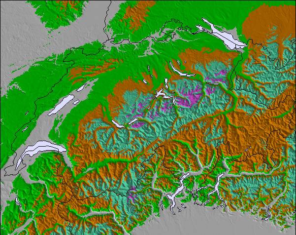
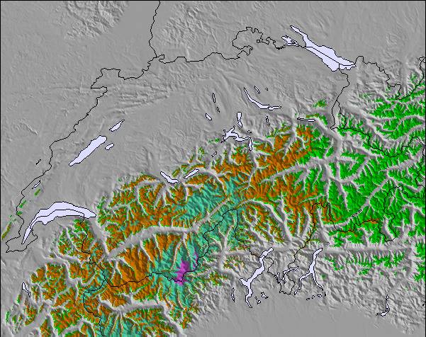
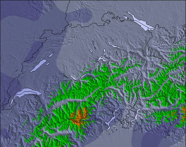
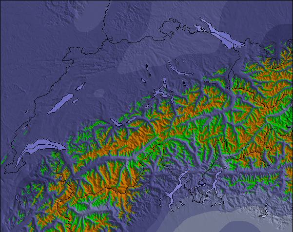
Sneeuw
kaart
Snow map
Snow map
Snow map
Snow map
Snow map
Snow map
Snowflake cm
—
—
—
—
—
—
—
—
3
1
—
—
—
—
—
—
—
—
 mm
—
—
—
—
—
—
—
—
—
—
—
—
—
—
—
—
—
—
max °C
-5
-5
-5
-7
-6
-4
-2
-2
-1
-1
-1
0
1
0
0
-1
-2
-2
min °C
-6
-5
-6
-7
-7
-6
-3
-3
-2
-1
-1
0
0
0
-1
-2
-2
-3
 chill °C
-6
-8
-10
-10
-12
-10
-7
-7
-5
-4
-4
-2
-3
-2
-4
-5
-4
-7
Vocht. %
78
69
24
60
93
62
53
86
97
80
91
75
66
74
96
96
97
97
Vriespunt Niveau m
2050
2250
1450
1950
2050
1600
2450
2500
2550
2800
2850
3050
3100
2950
2700
2750
2750
2600
Zeeniveau1000m2000m3000m4000m5000m
-6-5-6-7-7-5-3-3-2-1-1010-1-2-2-333-231-1532563764655
Zonsopgang
7:18
—
—
7:20
—
—
7:20
—
—
7:22
—
—
7:24
—
—
7:24
—
—
Zonsondergang
—
5:07
—
—
5:06
—
—
5:04
—
—
5:02
—
—
5:01
—
—
5:00
—

Next 3 days weather summary:

Nieuwe sneeuw besprenkeling. Temperaturen onder het vriespunt (max -1°C op maandagavond, min -7°C op zondagochtend). Wind zal licht zijn over het algemeen.

Dagen 4-6 Chandolin Weerssamenvatting

Nieuwe sneeuw besprenkeling. Bevriezen-ontdooien voorwaarden (max 1°C op woensdagochtend, min -3°C op donderdagavond). Wind zal licht zijn over het algemeen.

  • Circle CheckUur- en 16-daagse sneeuwvoorspellingen
  • Circle CheckAfgelopen weer bekijken
  • Circle CheckSnel browsen zonder advertenties
  • Circle CheckTerugblikken en Sneeuwhistorie
Ontgrendelt de app en de website

Laatste sneeuwrapporten in de buurt van Chandolin:

  • 20 km weg van Chandolin

    7 hours geleden
    weather station observation

    Light rain reported from Sion Airport at 481 metres elevation only 2 kms NW of Veysonnaz-Printse but it is forecast cold enough for snow at higher elevations in the ski area van Veysonnaz-Printse

  • 20 km weg van Chandolin

    11 hours geleden
    weather station observation

    Light rain reported from Sion at 339 metres elevation only 2 kms NW of Veysonnaz-Printse but it is forecast cold enough for snow at higher elevations in the ski area van Veysonnaz-Printse

Sneeuwomstandigheden Chandolin

Sneeuwdiepte op de top:—
Sneeuwdiepte beneden:—
Diepte verse sneeuw:8 cm
Laatste sneeuwval: 6 Nov 2026
Andere skigebieden in Switzerland verslagen: poedersneeuw (1) / goede piste (3)

Snow-Forecast Partner Offers

Sneeuwhistorie

Week 1 in November heeft gemiddeld:

0.4
Bluebird-poederdagen
Verse sneeuw, meestal zonnig, lichte wind.
2.2
Poederdagen
Verse sneeuw, vrij zonnig, wat wind.
1.8
Bluebird-dagen
Gemiddelde sneeuw, meestal zonnig, lichte wind.

Map placeholder