

Portillo Storm Snowfall Total Passes 5m / 17 Feet
A snow storm that has now continued for nine days has taken Chilean ski resort Portillo to a snowfall total of 5.2 metres (17 feet) so far, with more snow forecast.

Next 3 days weather summary:Lichte regen (totaal 7.0mm), vallende meestal op zondagmiddag. Zeer milde (max 18°C op dinsdagmiddag, min 7°C op zondagochtend). Wind zal licht zijn over het algemeen. | Dagen 4-6 Chandolin WeerssamenvattingLichte regen (totaal 7.0mm), vallende meestal op woensdagochtend. Warm (max 21°C op donderdagmiddag, min 13°C op woensdagochtend). Wind zal licht zijn over het algemeen. | |||||||||||||||||
zondag 26 | maandag 27 | dinsdag 28 | woensdag 29 | donderdag 30 | vrijdag 31 | |||||||||||||
AM | PM | nacht | AM | PM | nacht | AM | PM | nacht | AM | PM | nacht | AM | PM | nacht | AM | PM | nacht | |
lichte regen | lichte regen | regenbuien | licht bewolkt | helder | helder | helder | helder | regenbuien | kans onweer | kans onweer | helder | helder | helder | helder | helder | bewolkt | regenbuien | |
km/h | ||||||||||||||||||
Sneeuw kaart |  |  |  |  |  |  | ||||||||||||
— | — | — | — | — | — | — | — | — | — | — | — | — | — | — | — | — | — | |
mm | 2 | 3 | 1 | — | — | — | — | — | 1 | 1 | 2 | — | — | — | — | — | — | 4 |
max °C | 7 | 8 | 8 | 11 | 13 | 12 | 15 | 18 | 16 | 15 | 18 | 17 | 18 | 21 | 19 | 19 | 21 | 16 |
min °C | 7 | 7 | 7 | 8 | 12 | 11 | 13 | 17 | 12 | 13 | 17 | 14 | 15 | 20 | 15 | 16 | 19 | 14 |
chill °C | 7 | 6 | 6 | 7 | 12 | 11 | 13 | 17 | 12 | 13 | 17 | 14 | 15 | 20 | 15 | 16 | 19 | 14 |
Vocht. % | 92 | 86 | 79 | 54 | 69 | 51 | 36 | 44 | 81 | 65 | 46 | 48 | 35 | 34 | 53 | 30 | 45 | 64 |
Vriespunt Niveau m | 3400 | 3500 | 3600 | 4150 | 4200 | 4750 | 4650 | 4700 | 4500 | 4450 | 4700 | 4650 | 4650 | 4800 | 4750 | 4750 | 4900 | 4750 |
6:03 | — | — | 6:03 | — | — | 6:05 | — | — | 6:05 | — | — | 6:07 | — | — | 6:09 | — | — | |
— | — | 9:07 | — | — | 9:06 | — | — | 9:05 | — | — | 9:04 | — | — | 9:02 | — | — | 9:01 | |
Word pro en carve uit:
Lawine-informatie: European Avalanche Warning Services (EAWS)
Laatste sneeuwrapporten in de buurt van Chandolin:
| Sneeuwdiepte op de top: | 0 cm |
|---|---|
| Sneeuwdiepte beneden: | 0 cm |
| Diepte verse sneeuw: | — |
| Laatste sneeuwval: | 10 Jun 2026 |
0.0 | Bluebird-poederdagen Verse sneeuw, meestal zonnig, lichte wind. |
|---|---|
0.0 | Poederdagen Verse sneeuw, vrij zonnig, wat wind. |
0.0 | Bluebird-dagen Gemiddelde sneeuw, meestal zonnig, lichte wind. |


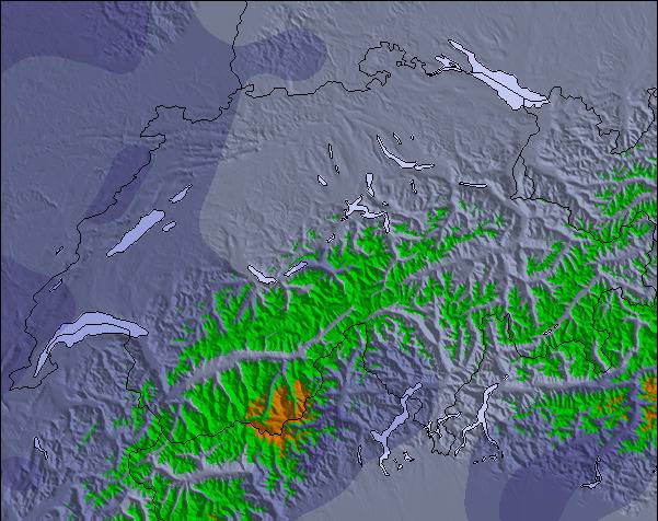
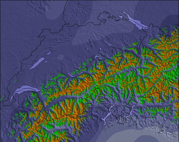
De bovenstaande tabel toont de weersverwachting voor Chandolin op een specifieke hoogte van 2326 m. Onze uiterst precieze weermodellen berekenen sneeuwverwachtingen voor de top, midden en dalstations van Chandolin. Voor weersverwachtingen op andere hoogtes, gebruik de tabbladen boven de tabel. Voor meer weer overzicht, zie de weerkaart van Switzerland.
Klik hier voor meer informatie over sneeuwhoogten en hoe we onze temperaturen berekenen.
Algemeen 3.8 Gebaseerd op 14 Stem(men) en 3 beoordelingen
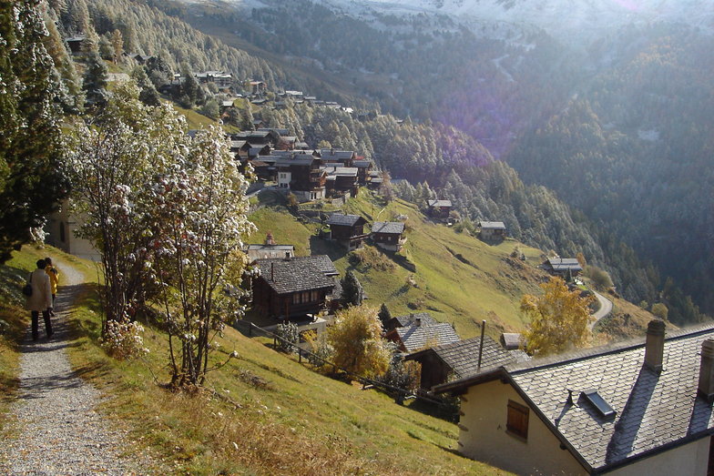
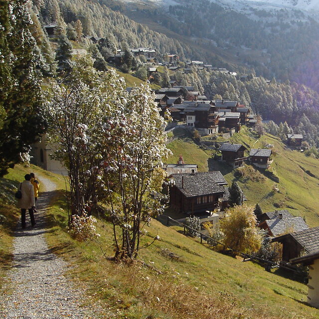
Chandolin is a sleepy backwater with a limited ski area that is totally reliant on unforgiving drag lifts, little or no English spoken and has absolutely no off-slope entertainment. In other words, it is perfect in every possible way...!
Chris van United Kingdom schrijft:
Chandolin is a sleepy backwater with a limited ski area that is totally reliant on unforgiving drag lifts, little or no English spoken and has absolutely no off-slope entertainment.
In other words, it is perfect in every possible way...!

 Nearest