


Portillo Storm Snowfall Total Passes 5m / 17 Feet
A snow storm that has now continued for nine days has taken Chilean ski resort Portillo to a snowfall total of 5.2 metres (17 feet) so far, with more snow forecast.

Next 4 days weather summary:Zware regen (totaal 27.0mm), zwaarst tijdens vrijdagavond. Warm (max 26°C op vrijdagmiddag, min 14°C op vrijdagavond). Wind zal licht zijn over het algemeen. | Dagen 5-7 Seefeld WeerssamenvattingMatige regen (totaal 17.0mm), zwaarst op dinsdagmiddag. Warm (max 24°C op maandagmiddag, min 14°C op dinsdagmiddag). Wind zal licht zijn over het algemeen. | |||||||||||||||
donderdag 30 | vrijdag 31 | zaterdag 1 | zondag 2 | maandag 3 | ||||||||||||
nacht | AM | PM | nacht | AM | PM | nacht | AM | PM | nacht | AM | PM | nacht | AM | PM | nacht | |
regenbuien | helder | helder | licht bewolkt | helder | licht bewolkt | zware regen | licht bewolkt | kans onweer | regenbuien | helder | bewolkt | lichte regen | bewolkt | bewolkt | licht bewolkt | |
km/h | ||||||||||||||||
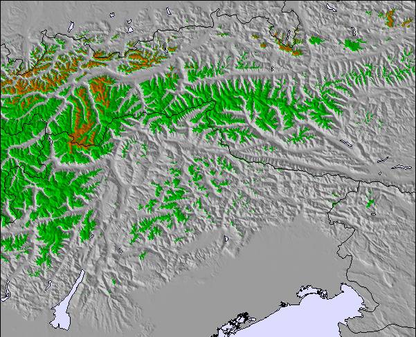
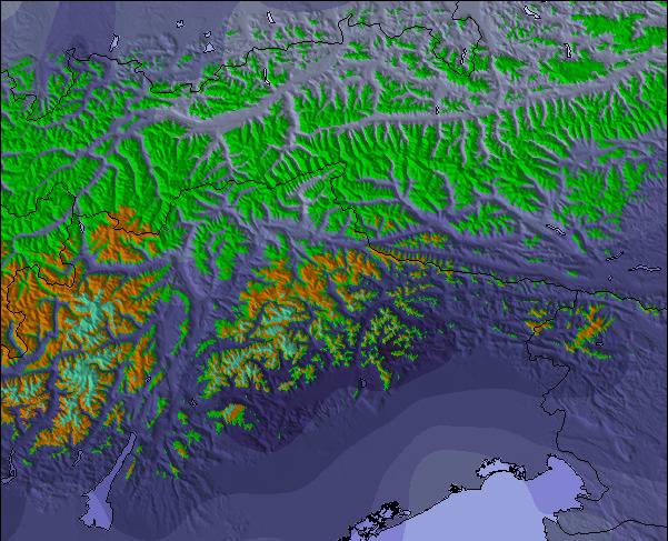
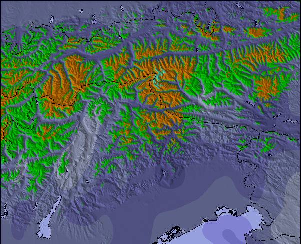
Sneeuw kaart |  |  |  |  |  |  | ||||||||||
— | — | — | — | — | — | — | — | — | — | — | — | — | — | — | — | |
mm | 3 | — | — | — | — | — | 22 | — | 2 | 5 | — | — | 2 | — | — | — |
max °C | 20 | 22 | 25 | 23 | 24 | 26 | 18 | 20 | 22 | 19 | 21 | 23 | 17 | 22 | 24 | 19 |
min °C | 17 | 19 | 25 | 18 | 20 | 24 | 14 | 16 | 20 | 16 | 17 | 21 | 16 | 18 | 22 | 15 |
chill °C | 17 | 19 | 25 | 18 | 20 | 24 | 13 | 16 | 20 | 16 | 17 | 21 | 16 | 18 | 22 | 15 |
Vocht. % | 53 | 28 | 21 | 45 | 31 | 35 | 68 | 49 | 54 | 68 | 43 | 52 | 61 | 39 | 40 | 52 |
Vriespunt Niveau m | 4300 | 4350 | 4700 | 4550 | 4650 | 4650 | 4450 | 4300 | 4350 | 4350 | 4500 | 4550 | 4500 | 4500 | 4500 | 4500 |
— | 5:50 | — | — | 5:50 | — | — | 5:52 | — | — | 5:52 | — | — | 5:54 | — | — | |
— | — | — | 8:52 | — | — | 8:50 | — | — | 8:49 | — | — | 8:47 | — | — | 8:45 | |
Word pro en carve uit:
Lawine-informatie: European Avalanche Warning Services (EAWS)
Laatste sneeuwrapporten in de buurt van Seefeld:
| Sneeuwdiepte op de top: | 0 cm |
|---|---|
| Sneeuwdiepte beneden: | 0 cm |
| Diepte verse sneeuw: | — |
| Laatste sneeuwval: | 18 May 2026 |
0.0 | Bluebird-poederdagen Verse sneeuw, meestal zonnig, lichte wind. |
|---|---|
0.0 | Poederdagen Verse sneeuw, vrij zonnig, wat wind. |
0.0 | Bluebird-dagen Gemiddelde sneeuw, meestal zonnig, lichte wind. |
De bovenstaande tabel toont de weersverwachting voor Seefeld op een specifieke hoogte van 1650 m. Onze uiterst precieze weermodellen berekenen sneeuwverwachtingen voor de top, midden en dalstations van Seefeld. Voor weersverwachtingen op andere hoogtes, gebruik de tabbladen boven de tabel. Voor meer weer overzicht, zie de weerkaart van Austria.
Klik hier voor meer informatie over sneeuwhoogten en hoe we onze temperaturen berekenen.
Algemeen 4.1 Gebaseerd op 27 Stem(men) en 25 beoordelingen
I’ve been visiting Seefeld yearly for almost 20 years since learning to ski here as a 30 year old. It’s a fabulous resort for beginners with a dedicated slope (Birkenlift & Geigenbühel t-bar drag lifts) that is a lovely area to master those snow plough turns. As it’s purely a beginners area there are no fast skiers flying past you, it feels very safe. It’s in town so you can walk to it and there are loads of ski rental shops a minute away. You can buy lift passes at the drag lift here. After that you move up to the 2 other main areas. Gschwandtkopf slope is a 15 min walk or 5 mins on the free bus, there’s also a free car park if you have a car. It’s a fantastic slope, a chair lift up the front and this slope has numerous ways to come down, you can make this slope as easy or hard as you wish. Straight down the right hand side is pretty much a red run but amble down the left side and it’s a lovely undulating easy blue. A great slope to build your confidence. There are also a couple of blue runs down the back, a bit narrower and great fun but only accessible on a T bar drag lift. Fab lunch stops at the top and bottom of the chair lift. You get the morning sun here but it’s colder and shady from mid afternoon. Next you take on the Rosshütte area. A 10 min free bus ride from town or also has a free car park. This is the largest of the areas in Seefeld. To the right you have a heated chairlift that takes you to a perfect blue run. A little narrow at first then a huge wide blue slope. There is also a great red off this chair. A train takes you to the top or a couple of chair lifts. The reds on this slope are decent easier reds. The blues are all excellent blues, nothing scary and never too busy. There are only 2 black runs. The black at the very top above the train is short and an easy black if it’s not windy. The short black in the trees is nearly always sheet ice and steep, a proper black run! If you’re looking for extensive terrain and tough skiing then there are better resorts. For leisurely fun confidence building this is the perfect resort. We come here every year for a week and then do a week in the 3 valleys for more extensive terrain. It’s also a beautiful town, no real apres ski but a nice place to potter and shop and drink hot chocolate.
Caroline Holder van United Kingdom schrijft:
I’ve been visiting Seefeld yearly for almost 20 years since learning to ski here as a 30 year old. It’s a fabulous resort for beginners with a dedicated slope (Birkenlift & Geigenbühel t-bar drag lifts) that is a lovely area to master those snow plough turns. As it’s purely a beginners area there are no fast skiers flying past you, it feels very safe. It’s in town so you can walk to it and there are loads of ski rental shops a minute away. You can buy lift passes at the drag lift here. After that you move up to the 2 other main areas. Gschwandtkopf slope is a 15 min walk or 5 mins on the free bus, there’s also a free car park if you have a car. It’s a fantastic slope, a chair lift up the front and this slope has numerous ways to come down, you can make this slope as easy or hard as you wish. Straight down the right hand side is pretty much a red run but amble down the left side and it’s a lovely undulating easy blue. A great slope to build your confidence. There are also a couple of blue runs down the back, a bit narrower and great fun but only accessible on a T bar drag lift. Fab lunch stops at the top and bottom of the chair lift. You get the morning sun here but it’s colder and shady from mid afternoon. Next you take on the Rosshütte area. A 10 min free bus ride from town or also has a free car park. This is the largest of the areas in Seefeld. To the right you have a heated chairlift that takes you to a perfect blue run. A little narrow at first then a huge wide blue slope. There is also a great red off this chair. A train takes you to the top or a couple of chair lifts. The reds on this slope are decent easier reds. The blues are all excellent blues, nothing scary and never too busy. There are only 2 black runs. The black at the very top above the train is short and an easy black if it’s not windy. The short black in the trees is nearly always sheet ice and steep, a proper black run! If you’re looking for extensive terrain and tough skiing then there are better resorts. For leisurely fun confidence building this is the perfect resort. We come here every year for a week and then do a week in the 3 valleys for more extensive terrain. It’s also a beautiful town, no real apres ski but a nice place to potter and shop and drink hot chocolate.

 Nearest