Laatste 6 dagenScroll naar links voor de laatste 6 dagenNu
Next 4 days weather summary:
Lichte regen (totaal 9.0mm), vallende meestal op vrijdagmiddag. Warm (max 25°C op zondagmiddag, min 16°C op zaterdagochtend). Afnemende wind (sterke wind van de WSW op vrijdagmiddag, kalm bij zondagmiddag).
Lichte regen (totaal 6.0mm), vallende meestal op dinsdagavond. Warm (max 27°C op maandagmiddag, min 20°C op maandagavond). Wind zal licht zijn over het algemeen.
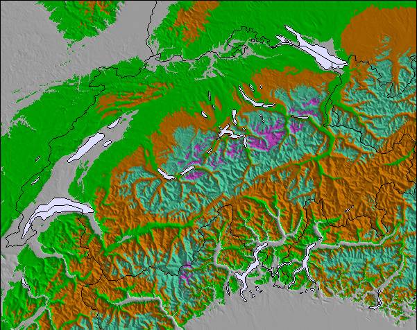
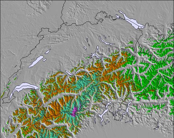
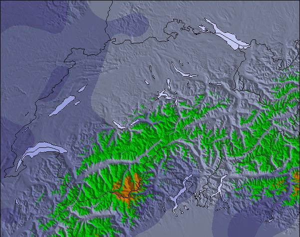
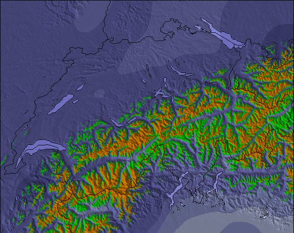
De bovenstaande tabel toont de weersverwachting voor Savagnières - Bugnenets op een specifieke hoogte van 1274 m. Onze uiterst precieze weermodellen berekenen sneeuwverwachtingen voor de top, midden en dalstations van Savagnières - Bugnenets. Voor weersverwachtingen op andere hoogtes, gebruik de tabbladen boven de tabel. Voor meer weer overzicht, zie de weerkaart van Switzerland.
Klik hier voor meer informatie over sneeuwhoogten en hoe we onze temperaturen berekenen.
Skigebied wordt ook geschreven als Savagnieres - Bugnenets.
Recensies van bezoekers van Savagnières - Bugnenets
Savagnières - Bugnenets is a great little ski region with easy and more difficult slopes. Don't expect a large alpine ski resort though.
That said, the ski lessons for the kids are excellent and much better than any we've had experience with so far in the Alps. The groups are smaller and we found the teachers to be more focussed. Even for the very small ones (3 years old) the activities were excellent.
If you live close in the area (i.e. Neuchatel/Bern) then Savagnières - Bugnenets is a very good place to go skiing, even if you're a good skier the region has some nice steep slopes you can really attack.
Recensies van bezoekers van Savagnières - Bugnenets
Niels van Switzerland schrijft:
Savagnières - Bugnenets is a great little ski region with easy and more difficult slopes. Don't expect a large alpine ski resort though.
That said, the ski lessons for the kids are excellent and much better than any we've had experience with so far in the Alps. The groups are smaller and we found the teachers to be more focussed. Even for the very small ones (3 years old) the activities were excellent.
If you live close in the area (i.e. Neuchatel/Bern) then Savagnières - Bugnenets is a very good place to go skiing, even if you're a good skier the region has some nice steep slopes you can really attack.
Gratis Snow-Forecast.com weer-widget voor op je website
De skiweer-widget voor Savagnières - Bugnenets is beschikbaar om gratis op te nemen op externe websites. De widget levert een dagelijkse samenvatting van onze sneeuwverwachtingen voor Savagnières - Bugnenets en de huidige weersomstandigheden daar. Ga naar de configuratiepagina en volg de drie eenvoudige stappen om de aangepaste html-code te kopiëren en in uw site te plakken. U kunt de hoogte van de sneeuwvoorspelling kiezen (top, midden van de berg of dalstation) en metrische of imperiale eenheden voor de sneeuwverwachting, aangepast op uw eigen website…. Klik hier om de code te krijgen.


 Nearest