

America’s Next Indoor Snow Centre Takes Shape
Construction of a new indoor snow centre for skiers, boarders and tubers appears to be making good progress at Heritage Farm in Wayne County, West Virginia.

Next 4 days weather summary:Wat motregen, zwaarste tijdens woensdagavond. Warm (max 20°C op zaterdagmiddag, min 6°C op woensdagavond). Afnemende wind (sterke wind van de W op woensdagavond, Lichte wind van de ZZW bij vrijdagavond). | Dagen 5-7 Mont Sutton WeerssamenvattingMatige regen (totaal 14.0mm), zwaarst op maandagmiddag. Warm (max 20°C op zondagmiddag, min 14°C op maandagavond). Wind zal licht zijn over het algemeen. | |||||||||||||||
donderdag 23 | vrijdag 24 | zaterdag 25 | zondag 26 | maandag 27 | ||||||||||||
nacht | AM | PM | nacht | AM | PM | nacht | AM | PM | nacht | AM | PM | nacht | AM | PM | nacht | |
regenbuien | licht bewolkt | helder | helder | helder | helder | helder | helder | helder | licht bewolkt | licht bewolkt | licht bewolkt | regenbuien | lichte regen | kans onweer | regenbuien | |
km/h | ||||||||||||||||
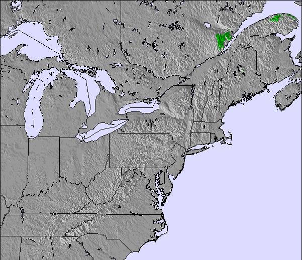
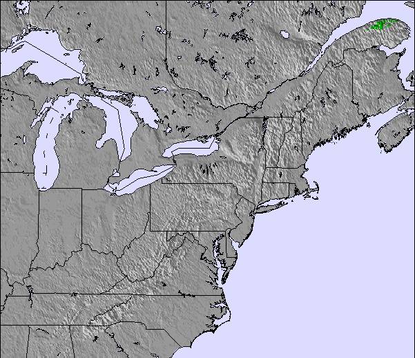
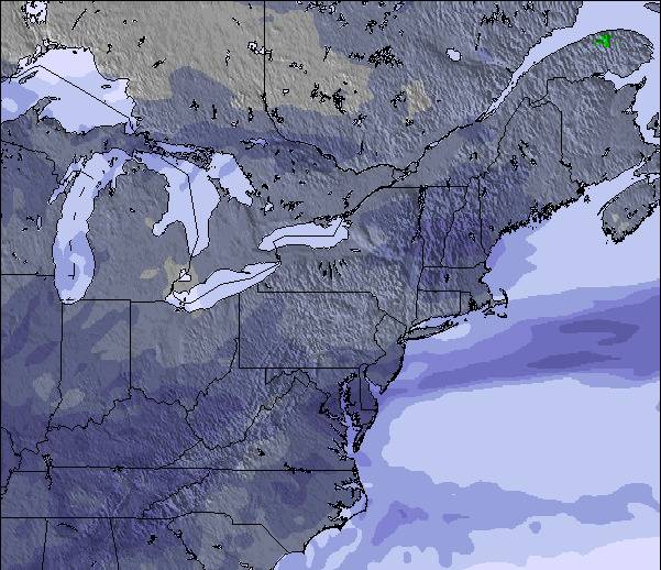
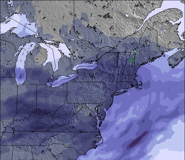
Sneeuw kaart |  |  |  |  |  |  | ||||||||||
— | — | — | — | — | — | — | — | — | — | — | — | — | — | — | — | |
mm | 1 | — | — | — | — | — | — | — | — | — | — | — | 1 | 1 | 5 | 4 |
max °C | 9 | 10 | 14 | 14 | 16 | 17 | 16 | 18 | 20 | 19 | 19 | 20 | 17 | 18 | 17 | 16 |
min °C | 6 | 8 | 13 | 13 | 14 | 17 | 14 | 16 | 20 | 16 | 17 | 20 | 15 | 15 | 16 | 14 |
chill °C | 1 | 4 | 10 | 12 | 13 | 17 | 13 | 16 | 20 | 16 | 17 | 20 | 13 | 14 | 15 | 14 |
Vocht. % | 70 | 69 | 58 | 62 | 56 | 54 | 62 | 52 | 47 | 62 | 56 | 57 | 76 | 69 | 88 | 93 |
Vriespunt Niveau m | 3350 | 2400 | 3000 | 2900 | 3150 | 3600 | 3700 | 3950 | 3800 | 3350 | 3500 | 3650 | 3650 | 3700 | 3800 | 3700 |
— | 5:24 | — | — | 5:24 | — | — | 5:26 | — | — | 5:28 | — | — | 5:28 | — | — | |
— | — | — | 8:27 | — | — | 8:25 | — | — | 8:24 | — | — | 8:23 | — | — | 8:22 | |
Word pro en carve uit:
Lawine-informatie: Avalanche Canada
Laatste sneeuwrapporten in de buurt van Mont Sutton:
| Sneeuwdiepte op de top: | — |
|---|---|
| Sneeuwdiepte beneden: | — |
| Diepte verse sneeuw: | — |
| Laatste sneeuwval: | 7 May 2026 |
0.0 | Bluebird-poederdagen Verse sneeuw, meestal zonnig, lichte wind. |
|---|---|
0.0 | Poederdagen Verse sneeuw, vrij zonnig, wat wind. |
0.0 | Bluebird-dagen Gemiddelde sneeuw, meestal zonnig, lichte wind. |
De bovenstaande tabel toont de weersverwachting voor Mont Sutton op een specifieke hoogte van 968 m. Onze uiterst precieze weermodellen berekenen sneeuwverwachtingen voor de top, midden en dalstations van Mont Sutton. Voor weersverwachtingen op andere hoogtes, gebruik de tabbladen boven de tabel. Voor meer weer overzicht, zie de weerkaart van Canada.
Klik hier voor meer informatie over sneeuwhoogten en hoe we onze temperaturen berekenen.
Algemeen 3.8 Gebaseerd op 17 Stem(men) en 4 beoordelingen
Beautiful ski hill especially for good skiers.
Lynda G van Canada schrijft:
Beautiful ski hill especially for good skiers.

 Nearest