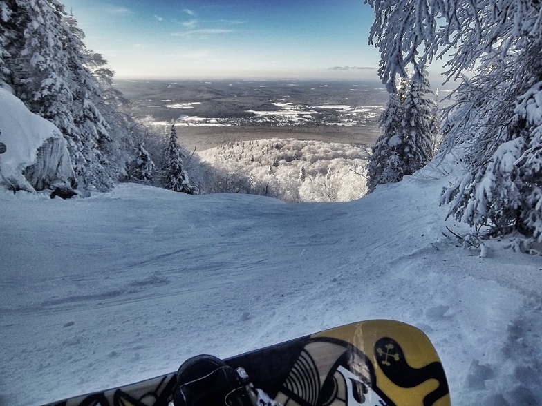
comScore pixel
Mont Sutton snow
Ski Canada - Quebec

Mont Sutton Sneeuwverwachting

Weersvoorspelling voor Mont Sutton op 740 m
Uitgegeven: 7 pm  30 Mar 2026 (lokale tijd)

Nieuwe sneeuw binnen Mont Sutton

4.3cm1.7in
Don. 2nd (AM)
De sneeuwverwachting voor Mont Sutton is: Zware regen (totaal 29.0mm), zwaarst tijdens dinsdagochtend. Later steeds kouder met een sneeuw besprenkeling op donderdagmiddag. Bevriezen-ontdooien voorwaarden (max 5°C op dinsdagavond, min -2°C op woensdagavond). Afnemende wind (frisse wind van de WSW op dinsdagavond, kalm bij woensdagavond).

Mont Sutton Weather (Next 3 days): The snow forecast for Mont Sutton is: Zware regen (totaal 29.0mm), zwaarst tijdens dinsdagochtend. Later steeds kouder met een sneeuw besprenkeling op donderdagmiddag. Bevriezen-ontdooien voorwaarden (max 5°C op dinsdagavond, min -2°C op woensdagavond). Afnemende wind (frisse wind van de WSW op dinsdagavond, kalm bij woensdagavond).

Mont Sutton Weather (Days 4-6): Zware regen (totaal 49.0mm), zwaarst tijdens zondagochtend. Zeer milde (max 12°C op vrijdagmiddag, min 1°C op zaterdagochtend). Meer wind (kalm op zaterdagochtend, stormachtige winden van de ZW bij zaterdagavond).


Live weerstoestand in Mont Sutton

ResortSneeuw DiepteTemp. (°C)Wind (km/h)Weer
Bovenaan lift: 0.5m
3
35
light rain
Midden van lift: 
4
25
light rain
Onderaan lift: 0.2m
5
20
light rain
6 Day Forecast
Uitgegeven: 7 pm 30 Mar 2026 / Wordt bijgewerkt binnen ::
Voorspel Hoogte Veranderen
Last 6 daysScroll left for last 6 daysNow
Tuesday
31
Wednesday
1
Thursday
2
Friday
3
Saturday
4
nacht
AM
PM
nacht
AM
PM
nacht
AM
PM
nacht
AM
PM
nacht
AM
PM
nacht
light rain
light snow
light rain
heavy rain
light snow
cloud
part cloud
light snow
light snow
heavy rain
rain showers
light rain
light rain
cloud
cloud
light rain
lichte regen
lichte sneeuw
lichte regen
zware regen
lichte sneeuw
bewolk­t
licht bewolkt
lichte sneeuw
lichte sneeuw
zware regen
regen
buien
lichte regen
lichte regen
bewolk­t
bewolk­t
lichte regen
 km/h
10
W
15
SSW
20
WSW
30
WSW
20
WNW
15
NW
5
SSE
5
SSE
15
SSW
30
WSW
35
WSW
40
WSW
35
W
5
W
20
SSW
55
SW
Snow map
1
3
2
9
3
15
12
1
2
4
1
max °C
4
2
4
5
1
0
-1
0
1
6
10
12
12
2
6
11
min °C
2
2
4
3
0
0
-2
-1
1
2
7
12
2
1
5
6
-1
-2
0
-2
-5
-5
-2
-3
-2
-2
2
9
-3
-3
2
2
96
97
99
100
92
75
67
99
97
96
89
97
93
75
74
86
1550
2450
2800
2800
700
650
0
550
3150
3200
3300
3250
3450
3500
3500
3400
Zeeniveau1000m2000m3000m4000m5000m
23550-1-2-11510117269413201-2-1126117267
6:33
6:31
6:28
6:26
6:26
7:15
7:16
7:17
7:20
7:21

Laatste sneeuwrapporten in de buurt van Mont Sutton:

  • 15 hour geleden
    Eyeball reporter

    The third month of the year is already coming to an end. But don’t worry—the skiing season is far from over. Nearly 90% of our trails are still open, which adds up to 200 acres of terrain to enjoy! As you can see, we still have plenty of snow on the mountain, with conditions that will vary depending on temperature fluctuations. Expect typical spring conditions. The base is hard packed with some patches of ice this morning but will soften in the afternoon. It’ll be ideal for picking up speed and practicing your carving turns! Coverage is generally good but getting thinner. There are some ex... van Mont Sutton

Sneeuwomstandigheden Mont Sutton

Sneeuwdiepte op de top:45cm
Sneeuwdiepte beneden:20cm
Diepte verse sneeuw:7cm
Laatste sneeuwval:28 Mar 2026
Andere skigebieden in Canada - Quebec verslagen: poedersneeuw (0) / goede piste (0)


Sneeuwhistorie

Week 4 in March heeft gemiddeld:
0.6
Bluebird-poederdagen
Verse sneeuw, meestal zonnig, lichte wind.
1.5
Poederdagen
Verse sneeuw, vrij zonnig, wat wind.
1.5
Bluebird-dagen
Gemiddelde sneeuw, meestal zonnig, lichte wind.

Map placeholder