Gepubliceerd door Snow-Forecast.com om:1 pm (lokale tijd) / 01 Aug 2026
Laatste 6 dagenScroll naar links voor de laatste 6 dagenNu
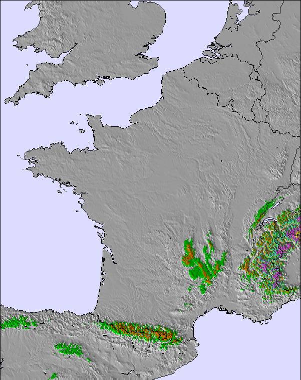
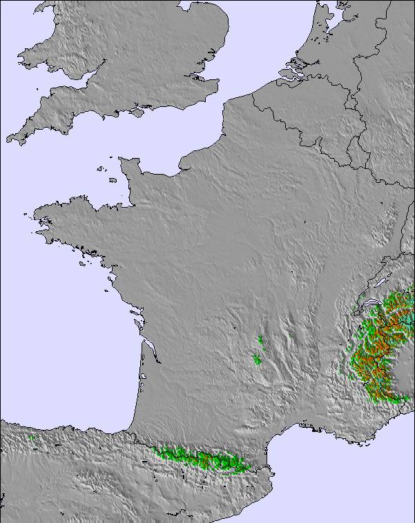
Next 3 days weather summary:
Zware regen (totaal 29.0mm), zwaarst tijdens maandagavond. Warm (max 22°C op zondagmiddag, min 15°C op maandagavond). Meer wind (kalm op zaterdagavond, frisse wind van de ZW bij maandagmiddag).
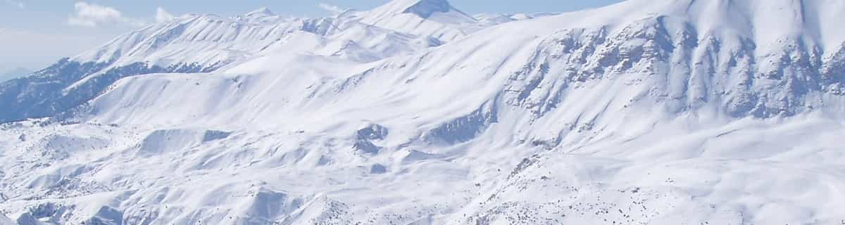
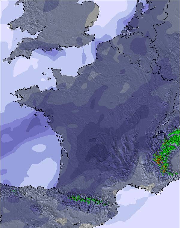
Dagen 4-6 Le Mont-Dore Weerssamenvatting
Matige regen (totaal 17.0mm), zwaarst op woensdagavond. Zeer milde (max 19°C op dinsdagmiddag, min 13°C op donderdagochtend). Wind zal licht zijn over het algemeen.
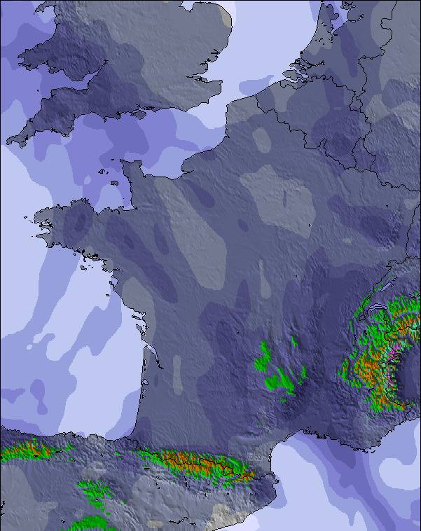
De bovenstaande tabel toont de weersverwachting voor Le Mont-Dore op een specifieke hoogte van 1849 m. Onze uiterst precieze weermodellen berekenen sneeuwverwachtingen voor de top, midden en dalstations van Le Mont-Dore. Voor weersverwachtingen op andere hoogtes, gebruik de tabbladen boven de tabel. Voor meer weer overzicht, zie de weerkaart van France.
Klik hier voor meer informatie over sneeuwhoogten en hoe we onze temperaturen berekenen.
Recensies van bezoekers van Le Mont-Dore
Algemeen 3.8 Gebaseerd op 17 Stem(men) en 3 beoordelingen
I skied here for a season over 2008-2009. During the entire season I met 1 English family so it really is undiscovered to the UK market. It is, however, my favourite ski resort of all those I have visited, whether in the Alps or the Dolomites or elsewhere. Of course, it is small, is difficult to get to from the UK due to the lack of flights to Clermont Ferrand, needs a bit of TLC when it comes to accommodation, is fairly low etc but what it lacks in these areas it more than makes up for in a relaxed charm and good skiing. On a good day you can be skiing in powder with no-one else around in the most dramatic scenery; not like the Alps but with a distinctive allure- it is the only place I have skied into an extinct volcano half pipe and witnessed a misty morning rainbow brockenspectre looking from the super besse ridge down into Le Mont Dore. Breathtaking. It is also cheap as chips; the least inexpensive ski resort I know.
Algemeen: 3.8 Gebaseerd op 17 Stem(men) en 3 beoordelingen
Sneeuwzekerheid
3.1
Piste Vercheidenheid
3.4
Off-Piste
4.6
Landschap
4.4
Na het Skiën
3.1
Glen van United Kingdom schrijft:
I skied here for a season over 2008-2009. During the entire season I met 1 English family so it really is undiscovered to the UK market. It is, however, my favourite ski resort of all those I have visited, whether in the Alps or the Dolomites or elsewhere. Of course, it is small, is difficult to get to from the UK due to the lack of flights to Clermont Ferrand, needs a bit of TLC when it comes to accommodation, is fairly low etc but what it lacks in these areas it more than makes up for in a relaxed charm and good skiing. On a good day you can be skiing in powder with no-one else around in the most dramatic scenery; not like the Alps but with a distinctive allure- it is the only place I have skied into an extinct volcano half pipe and witnessed a misty morning rainbow brockenspectre looking from the super besse ridge down into Le Mont Dore. Breathtaking. It is also cheap as chips; the least inexpensive ski resort I know.
Gratis Snow-Forecast.com weer-widget voor op je website
De skiweer-widget voor Le Mont-Dore is beschikbaar om gratis op te nemen op externe websites. De widget levert een dagelijkse samenvatting van onze sneeuwverwachtingen voor Le Mont-Dore en de huidige weersomstandigheden daar. Ga naar de configuratiepagina en volg de drie eenvoudige stappen om de aangepaste html-code te kopiëren en in uw site te plakken. U kunt de hoogte van de sneeuwvoorspelling kiezen (top, midden van de berg of dalstation) en metrische of imperiale eenheden voor de sneeuwverwachting, aangepast op uw eigen website…. Klik hier om de code te krijgen.


 Nearest