Gepubliceerd door Snow-Forecast.com om:7 am (lokale tijd) / 14 Jul 2026
Laatste 6 dagenScroll naar links voor de laatste 6 dagenNu
Next 3 days weather summary:
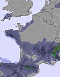
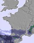
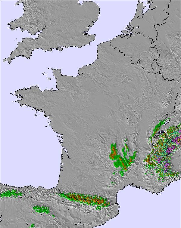
Matige regen (totaal 11.0mm), zwaarst op donderdagmiddag. Warm (max 25°C op woensdagmiddag, min 18°C op dinsdagochtend). Meer wind (kalm op dinsdagavond, sterke wind van de WNW bij woensdagavond).
Dagen 4-6 Le Mont-Dore Weerssamenvatting
Lichte regen (totaal 3.0mm), vallende meestal op vrijdagochtend. Zeer milde (max 18°C op vrijdagavond, min 13°C op vrijdagmiddag). Wind zal licht zijn over het algemeen.
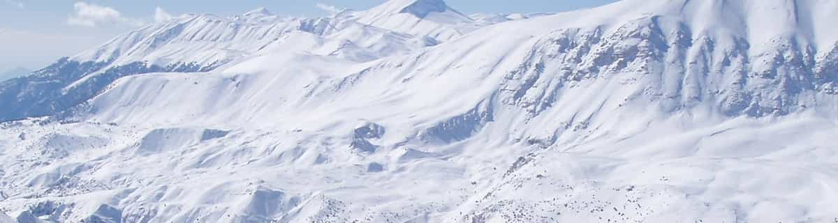
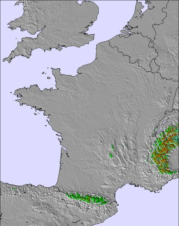
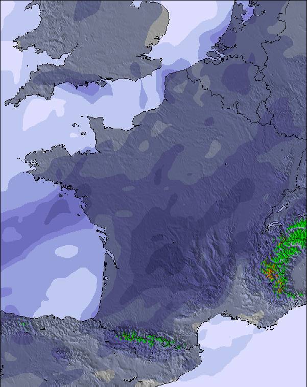
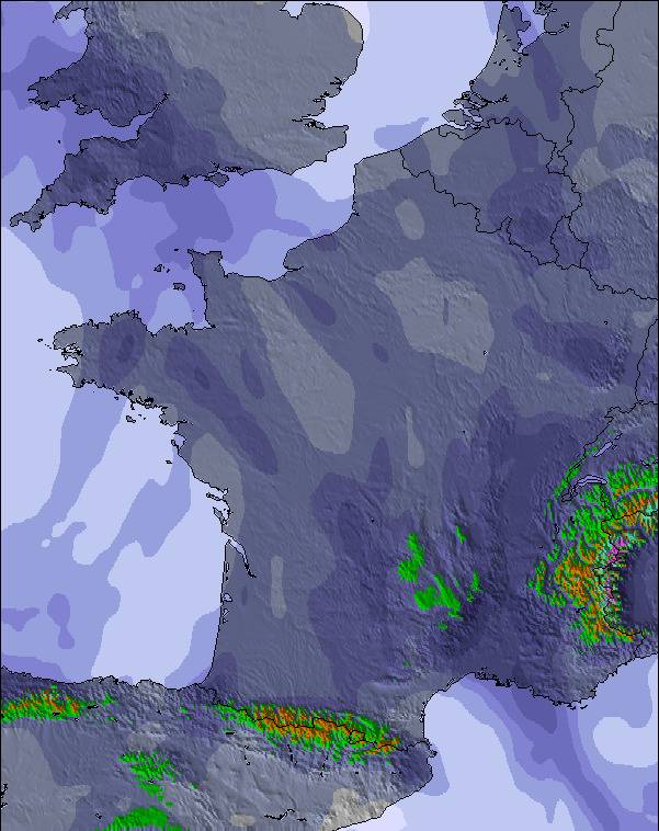
De bovenstaande tabel toont de weersverwachting voor Le Mont-Dore op een specifieke hoogte van 1526 m. Onze uiterst precieze weermodellen berekenen sneeuwverwachtingen voor de top, midden en dalstations van Le Mont-Dore. Voor weersverwachtingen op andere hoogtes, gebruik de tabbladen boven de tabel. Voor meer weer overzicht, zie de weerkaart van France.
Klik hier voor meer informatie over sneeuwhoogten en hoe we onze temperaturen berekenen.
Recensies van bezoekers van Le Mont-Dore
Algemeen 3.8 Gebaseerd op 17 Stem(men) en 3 beoordelingen
My wife and I are both retired but enjoy our skiing. We have skied in Le Mont Dore for the past few years and have found it perfect for our needs. The people are really friendly and the ski staff are very helpful. Lift passes are very reasonable and flexible. The town, itself, is very good for shopping and, again, the people are very friendly.
We have a property near Bellac so travelling to the resort takes around two hours using mostly motorways. If you need other Brits around you, you will be disappointed. This is mostly a French ski resort but we have found everyone friendly on and off the piste.
As a retired ski coach, I can recommend Mont Dore to all levels but it is especially good for beginners and intermediates.
Alan Bainbridge
Algemeen: 3.8 Gebaseerd op 17 Stem(men) en 3 beoordelingen
Sneeuwzekerheid
3.1
Piste Vercheidenheid
3.4
Off-Piste
4.6
Landschap
4.4
Na het Skiën
3.1
alan bainbridge van United Kingdom schrijft:
My wife and I are both retired but enjoy our skiing. We have skied in Le Mont Dore for the past few years and have found it perfect for our needs. The people are really friendly and the ski staff are very helpful. Lift passes are very reasonable and flexible. The town, itself, is very good for shopping and, again, the people are very friendly.
We have a property near Bellac so travelling to the resort takes around two hours using mostly motorways. If you need other Brits around you, you will be disappointed. This is mostly a French ski resort but we have found everyone friendly on and off the piste.
As a retired ski coach, I can recommend Mont Dore to all levels but it is especially good for beginners and intermediates.
Gratis Snow-Forecast.com weer-widget voor op je website
De skiweer-widget voor Le Mont-Dore is beschikbaar om gratis op te nemen op externe websites. De widget levert een dagelijkse samenvatting van onze sneeuwverwachtingen voor Le Mont-Dore en de huidige weersomstandigheden daar. Ga naar de configuratiepagina en volg de drie eenvoudige stappen om de aangepaste html-code te kopiëren en in uw site te plakken. U kunt de hoogte van de sneeuwvoorspelling kiezen (top, midden van de berg of dalstation) en metrische of imperiale eenheden voor de sneeuwverwachting, aangepast op uw eigen website…. Klik hier om de code te krijgen.


 Nearest