Laatste 6 dagenScroll naar links voor de laatste 6 dagenNu
Next 4 days weather summary:
Zware regen (totaal 48.0mm), zwaarst tijdens vrijdagochtend. Zeer milde (max 10°C op donderdagmiddag, min 2°C op vrijdagochtend). Wind zal licht zijn over het algemeen.
Lichte regen (totaal 9.0mm), vallende meestal op zondagmiddag. Milde temperaturen (max 5°C op maandagmiddag, min 1°C op dinsdagochtend). Wind zal licht zijn over het algemeen.
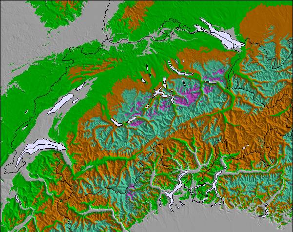
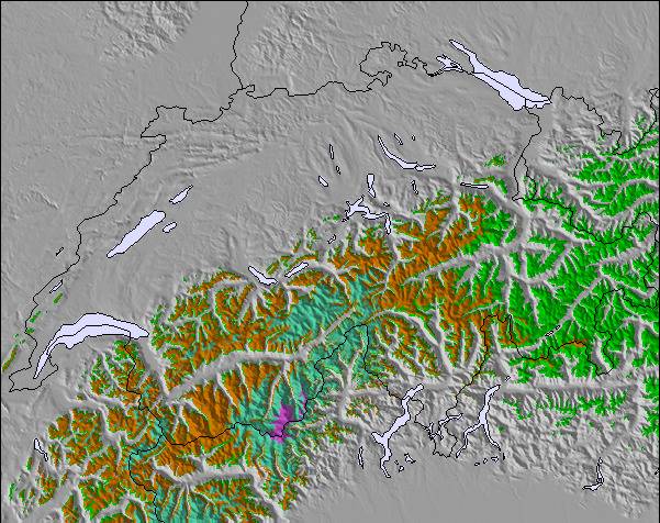
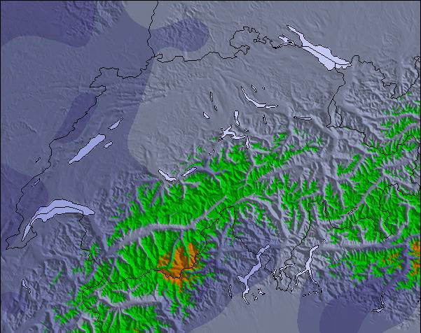
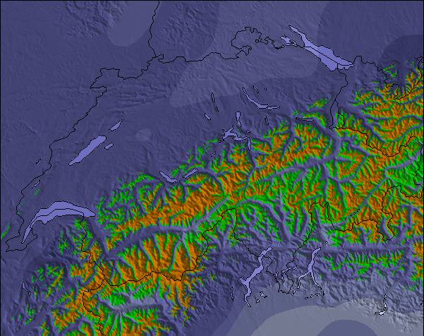
De bovenstaande tabel toont de weersverwachting voor Lauchernalp - Lötschental op een specifieke hoogte van 3111 m. Onze uiterst precieze weermodellen berekenen sneeuwverwachtingen voor de top, midden en dalstations van Lauchernalp - Lötschental. Voor weersverwachtingen op andere hoogtes, gebruik de tabbladen boven de tabel. Voor meer weer overzicht, zie de weerkaart van Switzerland.
Klik hier voor meer informatie over sneeuwhoogten en hoe we onze temperaturen berekenen.
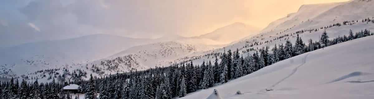
Skigebied wordt ook geschreven als Lauchernalp - Lotschental.
Recensies van bezoekers van Lauchernalp - Lötschental
Algemeen 4.0 Gebaseerd op 20 Stem(men) en 2 beoordelingen
A friend and I were planning on skiing Kandersteg one day coming down from Interlaken. However, as the train wound its way through the mountains and arrived at Kandersteg, no one got off. So, in a moment's decision, we decided to follow the crowd. In this case, following the crowd was a good decision. Everyone seemed to get off at one station and immediately started loading buses, so we followed everyone off the train and onto the buses. It turned out to be the best decision we made that trip. The mountain at Lauchernalp - Lötschental was amazing, the village was picturesque, and the sun shone all day. We spent a lot of time in the off-piste on the far skier's left side of the mountain. It was an amazing experience and some apres-ski Bier und Goulasch Suppe was a great way to end the day. We went in mid March and the weather was perfectly sunny all day, the temperature at the base hovering around 0 C. Go. It's wonderful.
Recensies van bezoekers van Lauchernalp - Lötschental
Algemeen: 4.0 Gebaseerd op 20 Stem(men) en 2 beoordelingen
Sneeuwzekerheid
5.0
Piste Vercheidenheid
4.2
Off-Piste
4.8
Landschap
4.9
Na het Skiën
3.1
Zach van United States schrijft:
A friend and I were planning on skiing Kandersteg one day coming down from Interlaken. However, as the train wound its way through the mountains and arrived at Kandersteg, no one got off. So, in a moment's decision, we decided to follow the crowd. In this case, following the crowd was a good decision. Everyone seemed to get off at one station and immediately started loading buses, so we followed everyone off the train and onto the buses. It turned out to be the best decision we made that trip. The mountain at Lauchernalp - Lötschental was amazing, the village was picturesque, and the sun shone all day. We spent a lot of time in the off-piste on the far skier's left side of the mountain. It was an amazing experience and some apres-ski Bier und Goulasch Suppe was a great way to end the day. We went in mid March and the weather was perfectly sunny all day, the temperature at the base hovering around 0 C. Go. It's wonderful.
Gratis Snow-Forecast.com weer-widget voor op je website
De skiweer-widget voor Lauchernalp - Lötschental is beschikbaar om gratis op te nemen op externe websites. De widget levert een dagelijkse samenvatting van onze sneeuwverwachtingen voor Lauchernalp - Lötschental en de huidige weersomstandigheden daar. Ga naar de configuratiepagina en volg de drie eenvoudige stappen om de aangepaste html-code te kopiëren en in uw site te plakken. U kunt de hoogte van de sneeuwvoorspelling kiezen (top, midden van de berg of dalstation) en metrische of imperiale eenheden voor de sneeuwverwachting, aangepast op uw eigen website…. Klik hier om de code te krijgen.


 Nearest