Gepubliceerd door Snow-Forecast.com om:7 am (lokale tijd) / 01 Aug 2026
Laatste 6 dagenScroll naar links voor de laatste 6 dagenNu
Next 3 days weather summary:
Zware regen (totaal 46.0mm), zwaarst tijdens zaterdagavond. Zeer milde (max 12°C op maandagmiddag, min 8°C op zaterdagavond). Wind zal licht zijn over het algemeen.
Dagen 4-6 Davos Weerssamenvatting
Zware regen (totaal 24.0mm), zwaarst tijdens donderdagavond. Zeer milde (max 14°C op woensdagmiddag, min 9°C op donderdagavond). Wind zal licht zijn over het algemeen.
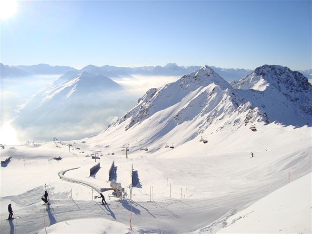
De bovenstaande tabel toont de weersverwachting voor Davos op een specifieke hoogte van 2844 m. Onze uiterst precieze weermodellen berekenen sneeuwverwachtingen voor de top, midden en dalstations van Davos. Voor weersverwachtingen op andere hoogtes, gebruik de tabbladen boven de tabel. Voor meer weer overzicht, zie de weerkaart van Switzerland.
Klik hier voor meer informatie over sneeuwhoogten en hoe we onze temperaturen berekenen.
Recensies van bezoekers van Davos
Algemeen 4.5 Gebaseerd op 34 Stem(men) en 13 beoordelingen
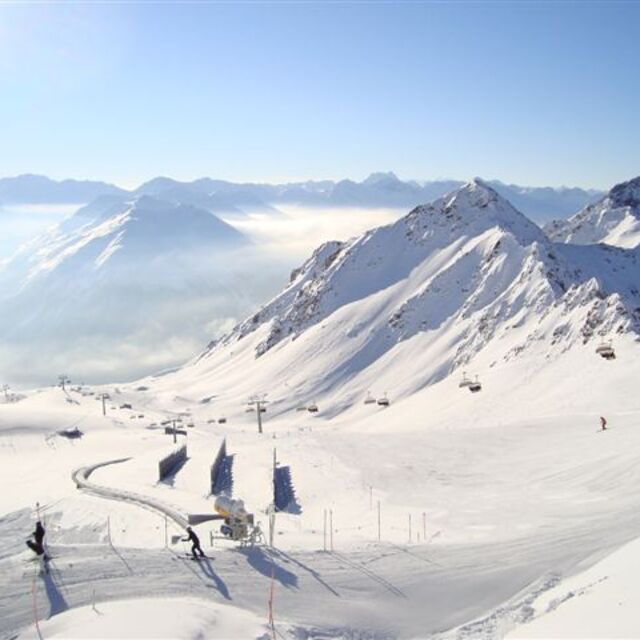
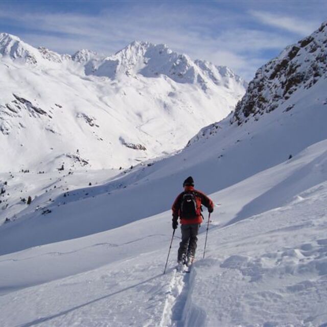
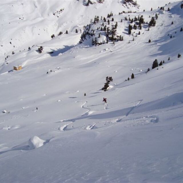
I initially planned to stay 6 days, but extend to twelve as it just would not stop snowing fresh powder. Arrived by car from Zurich, which was under 2hrs. However, the car was redundant upon arrival as it was more convenient to take the bus service in town (free pass given with accommodation), which runs frequently to the slopes and watering holes. I departed by train, which took around 2.5hrs with one change, so no big ordeal to use public transport for the entire trip. Spent most of my time on the slopes of Parsenn, which was the largest resort, and had lots of easy access and challenging off-piste. The après-ski only really springs to life at weekends when the German and Swiss hit town. However, the up-side is during the week you’ll have the slopes virtually to yourself with no dreaded lift queues. I’ve boarded in the US, Japan, Austria and France, and other places in Switzerland. Davos is up there with the best of them. I’d highly recommend Davos if you board or ski and the main purpose of you trip is to push yourself on the slopes (particularly if you want easy access to plenty of good off-piste), rather than the après-ski.
Algemeen: 4.5 Gebaseerd op 34 Stem(men) en 13 beoordelingen
Sneeuwzekerheid
4.9
Piste Vercheidenheid
4.9
Off-Piste
5.0
Landschap
4.4
Na het Skiën
4.3
Sidders van Taiwan schrijft:
I initially planned to stay 6 days, but extend to twelve as it just would not stop snowing fresh powder. Arrived by car from Zurich, which was under 2hrs. However, the car was redundant upon arrival as it was more convenient to take the bus service in town (free pass given with accommodation), which runs frequently to the slopes and watering holes. I departed by train, which took around 2.5hrs with one change, so no big ordeal to use public transport for the entire trip. Spent most of my time on the slopes of Parsenn, which was the largest resort, and had lots of easy access and challenging off-piste. The après-ski only really springs to life at weekends when the German and Swiss hit town. However, the up-side is during the week you’ll have the slopes virtually to yourself with no dreaded lift queues. I’ve boarded in the US, Japan, Austria and France, and other places in Switzerland. Davos is up there with the best of them. I’d highly recommend Davos if you board or ski and the main purpose of you trip is to push yourself on the slopes (particularly if you want easy access to plenty of good off-piste), rather than the après-ski.
Gratis Snow-Forecast.com weer-widget voor op je website
De skiweer-widget voor Davos is beschikbaar om gratis op te nemen op externe websites. De widget levert een dagelijkse samenvatting van onze sneeuwverwachtingen voor Davos en de huidige weersomstandigheden daar. Ga naar de configuratiepagina en volg de drie eenvoudige stappen om de aangepaste html-code te kopiëren en in uw site te plakken. U kunt de hoogte van de sneeuwvoorspelling kiezen (top, midden van de berg of dalstation) en metrische of imperiale eenheden voor de sneeuwverwachting, aangepast op uw eigen website…. Klik hier om de code te krijgen.


 Nearest