

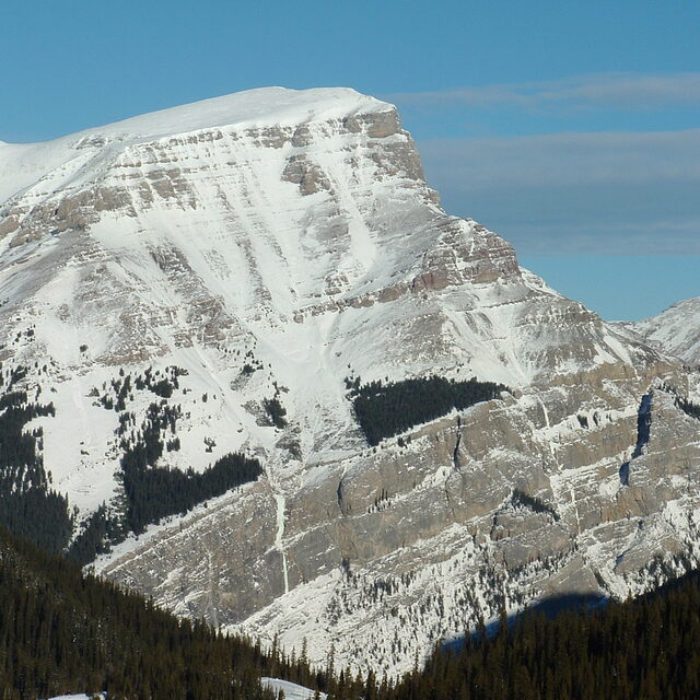
Portillo Re-Opens To Guests Arriving By Helicopter
Chile’s famous Portillo ski resort is reported to have re-opened to guests arriving by helicopter after being cut off by road for more than two weeks by over 6m/20 feet of snowfall.

Next 3 days weather summary:Meestal droog. Zeer milde (max 19°C op woensdagmiddag, min 5°C op maandagochtend). Wind zal licht zijn over het algemeen. | Dagen 4-6 Banff Mt Norquay WeerssamenvattingMatige regen (totaal 18.0mm), zwaarst op zaterdagmiddag. Warm (max 20°C op donderdagmiddag, min 9°C op zaterdagavond). Wind zal licht zijn over het algemeen. | |||||||||||||||||
maandag 3 | dinsdag 4 | woensdag 5 | donderdag 6 | vrijdag 7 | zaterdag 8 | |||||||||||||
AM | PM | nacht | AM | PM | nacht | AM | PM | nacht | AM | PM | nacht | AM | PM | nacht | AM | PM | nacht | |
licht bewolkt | bewolkt | licht bewolkt | helder | licht bewolkt | bewolkt | licht bewolkt | helder | helder | helder | licht bewolkt | licht bewolkt | licht bewolkt | kans onweer | regenbuien | regenbuien | gem. regen | regenbuien | |
km/h | ||||||||||||||||||
Sneeuw kaart | 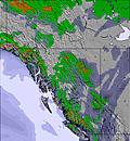 | 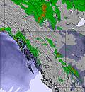 | 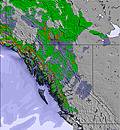 | 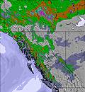 | 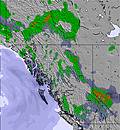 | 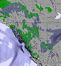 | ||||||||||||
— | — | — | — | — | — | — | — | — | — | — | — | — | — | — | — | — | — | |
mm | — | — | — | — | — | — | — | — | — | — | — | — | — | 2 | 2 | 2 | 8 | 4 |
max °C | 9 | 12 | 9 | 12 | 16 | 14 | 15 | 19 | 17 | 16 | 20 | 15 | 18 | 19 | 12 | 14 | 15 | 11 |
min °C | 5 | 11 | 6 | 9 | 15 | 10 | 11 | 18 | 11 | 13 | 20 | 12 | 13 | 16 | 10 | 11 | 12 | 9 |
chill °C | 4 | 11 | 6 | 9 | 15 | 10 | 11 | 18 | 11 | 13 | 20 | 12 | 13 | 16 | 10 | 11 | 12 | 9 |
Vocht. % | 64 | 31 | 61 | 52 | 29 | 47 | 49 | 29 | 56 | 60 | 28 | 74 | 60 | 37 | 85 | 76 | 57 | 86 |
Vriespunt Niveau m | 2700 | 3350 | 3300 | 3250 | 3850 | 3950 | 3800 | 4350 | 4300 | 4100 | 4450 | 4500 | 4350 | 4300 | 4050 | 3900 | 4050 | 3950 |
6:09 | — | — | 6:11 | — | — | 6:11 | — | — | 6:13 | — | — | 6:15 | — | — | 6:16 | — | — | |
— | — | 9:25 | — | — | 9:23 | — | — | 9:22 | — | — | 9:20 | — | — | 9:19 | — | — | 9:16 | |
Word pro en carve uit:
Lawine-informatie: Avalanche Canada
Laatste sneeuwrapporten in de buurt van Banff Mt Norquay:
| Sneeuwdiepte op de top: | 0 cm |
|---|---|
| Sneeuwdiepte beneden: | 0 cm |
| Diepte verse sneeuw: | — |
| Laatste sneeuwval: | 7 Jun 2026 |
0.0 | Bluebird-poederdagen Verse sneeuw, meestal zonnig, lichte wind. |
|---|---|
0.0 | Poederdagen Verse sneeuw, vrij zonnig, wat wind. |
0.0 | Bluebird-dagen Gemiddelde sneeuw, meestal zonnig, lichte wind. |
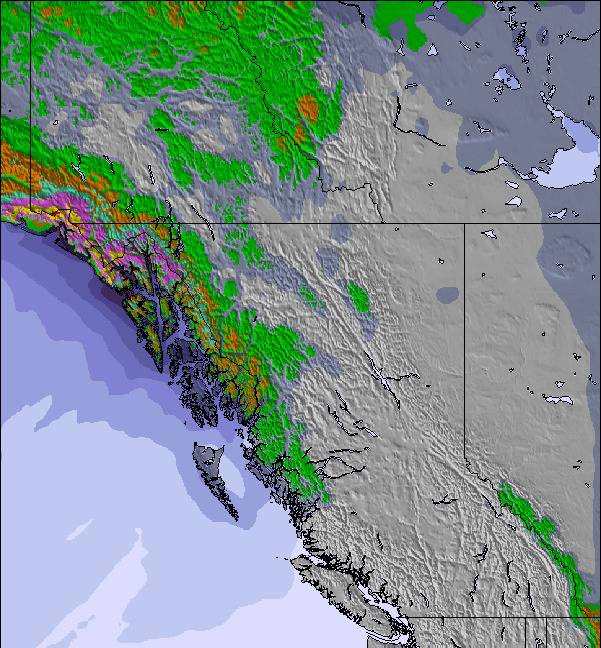
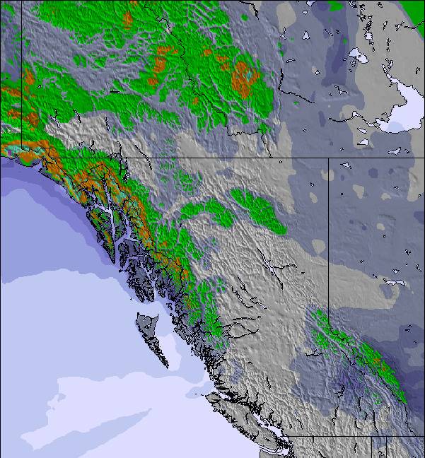
De bovenstaande tabel toont de weersverwachting voor Banff Mt Norquay op een specifieke hoogte van 2042 m. Onze uiterst precieze weermodellen berekenen sneeuwverwachtingen voor de top, midden en dalstations van Banff Mt Norquay. Voor weersverwachtingen op andere hoogtes, gebruik de tabbladen boven de tabel. Voor meer weer overzicht, zie de weerkaart van Canada.
Klik hier voor meer informatie over sneeuwhoogten en hoe we onze temperaturen berekenen.
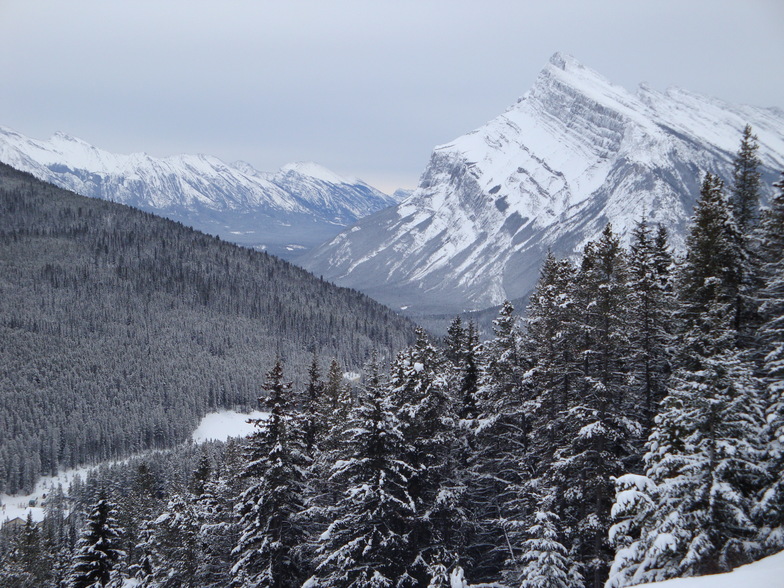
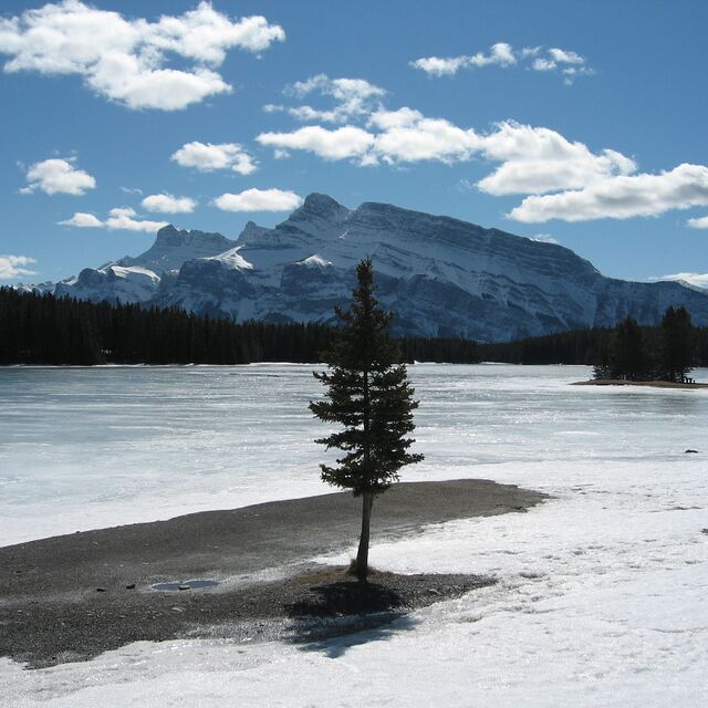
Skigebied wordt ook geschreven als Banff Mount Norquay.
Algemeen 3.4 Gebaseerd op 20 Stem(men) en 14 beoordelingen
Icy and steep. Significant snowfall typically misses it completely. Go to Louise!
Jed van Canada schrijft:
Icy and steep. Significant snowfall typically misses it completely.
Go to Louise!
Lees 13 meer recensies van Banff Mt Norquay of stuur je eigen in

 Nearest