

America’s Next Indoor Snow Centre Takes Shape
Construction of a new indoor snow centre for skiers, boarders and tubers appears to be making good progress at Heritage Farm in Wayne County, West Virginia.

Next 3 days weather summary:Zware regen (totaal 20.0mm), zwaarst tijdens woensdagmiddag. Zeer milde (max 19°C op vrijdagmiddag, min 8°C op woensdagavond). Wind zal licht zijn over het algemeen. | Dagen 4-6 Vail WeerssamenvattingZware regen (totaal 22.0mm), zwaarst tijdens zondagmiddag. Warm (max 22°C op zaterdagmiddag, min 10°C op maandagmiddag). Wind zal licht zijn over het algemeen. | |||||||||||||||||
woensdag 22 | donderdag 23 | vrijdag 24 | zaterdag 25 | zondag 26 | maandag 27 | |||||||||||||
AM | PM | nacht | AM | PM | nacht | AM | PM | nacht | AM | PM | nacht | AM | PM | nacht | AM | PM | nacht | |
regenbuien | regenbuien | regenbuien | regenbuien | kans onweer | regenbuien | helder | bewolkt | helder | helder | licht bewolkt | regenbuien | licht bewolkt | gem. regen | regenbuien | bewolkt | gem. regen | regenbuien | |
km/h | ||||||||||||||||||
Sneeuw kaart |  |  |  | 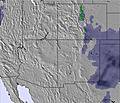 | 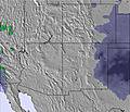 | 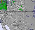 | ||||||||||||
— | — | — | — | — | — | — | — | — | — | — | — | — | — | — | — | — | — | |
mm | 1 | 8 | 4 | 1 | 4 | 2 | — | — | — | — | — | 2 | — | 6 | 1 | — | 9 | 4 |
max °C | 16 | 12 | 9 | 14 | 13 | 11 | 17 | 19 | 15 | 20 | 22 | 14 | 20 | 20 | 12 | 20 | 12 | 10 |
min °C | 13 | 12 | 8 | 11 | 11 | 10 | 13 | 18 | 13 | 16 | 20 | 13 | 17 | 11 | 12 | 15 | 10 | 10 |
chill °C | 13 | 12 | 7 | 11 | 11 | 10 | 13 | 18 | 12 | 16 | 20 | 12 | 17 | 9 | 11 | 15 | 10 | 9 |
Vocht. % | 58 | 67 | 86 | 71 | 66 | 68 | 61 | 27 | 53 | 38 | 21 | 59 | 39 | 30 | 66 | 53 | 72 | 79 |
Vriespunt Niveau m | 5450 | 5400 | 5150 | 5300 | 5450 | 5300 | 5450 | 5850 | 5600 | 5800 | 6000 | 5600 | 5750 | 6000 | 5450 | 5650 | 5550 | 5300 |
5:54 | — | — | 5:56 | — | — | 5:56 | — | — | 5:58 | — | — | 5:58 | — | — | 5:58 | — | — | |
— | 8:27 | — | — | 8:27 | — | — | 8:25 | — | — | 8:24 | — | — | 8:23 | — | — | 8:22 | — | |
Word pro en carve uit:
Lawine-informatie: Colorado Avalanche Information Center
Laatste sneeuwrapporten in de buurt van Vail:
| Sneeuwdiepte op de top: | 0 cm |
|---|---|
| Sneeuwdiepte beneden: | 0 cm |
| Diepte verse sneeuw: | — |
| Laatste sneeuwval: | 21 May 2026 |
0.0 | Bluebird-poederdagen Verse sneeuw, meestal zonnig, lichte wind. |
|---|---|
0.0 | Poederdagen Verse sneeuw, vrij zonnig, wat wind. |
0.0 | Bluebird-dagen Gemiddelde sneeuw, meestal zonnig, lichte wind. |


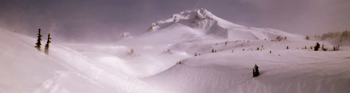
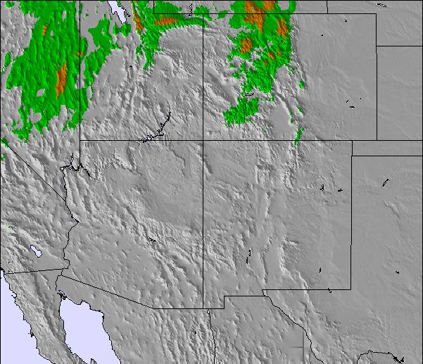
De bovenstaande tabel toont de weersverwachting voor Vail op een specifieke hoogte van 3498 m. Onze uiterst precieze weermodellen berekenen sneeuwverwachtingen voor de top, midden en dalstations van Vail. Voor weersverwachtingen op andere hoogtes, gebruik de tabbladen boven de tabel. Voor meer weer overzicht, zie de weerkaart van United States.
Klik hier voor meer informatie over sneeuwhoogten en hoe we onze temperaturen berekenen.
Algemeen 4.3 Gebaseerd op 20 Stem(men) en 18 beoordelingen
Of all the companies I have ever dealt with Vail Resorts is among the worst. They honestly do not care about their customers, all you are to them is a dollar figure and they will cycle to the next victim. The skiing might be great, but there are other resorts that actually care about their customers.
Todd Chamberlin van United States schrijft:
Of all the companies I have ever dealt with Vail Resorts is among the worst. They honestly do not care about their customers, all you are to them is a dollar figure and they will cycle to the next victim. The skiing might be great, but there are other resorts that actually care about their customers.

 Nearest