
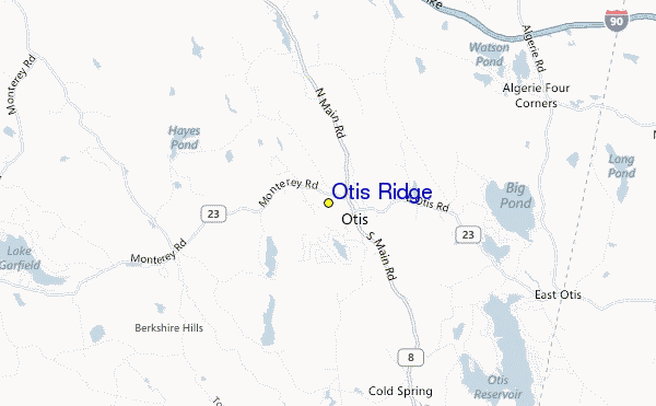
Skigebied Gids Otis Ridge
Piste Statistieken
518m
122m
396m
- Oppervlakte:60
- Pistes:11
- Kunstsneeuw:90%
- Halfpipes:-
- Terrainparks:-
- Cross-Country:1 km
- Beginners30%
- intermediair40%
- Gevorderd30%

Otis Ridge in the United States (Massachusetts State) is a small ski resort with just 5 ski lifts (1 chair lift, 4 surface lifts) with only 122 metres (400 feet) of vertical descent. Otis Ridge has 60 acres of terrain over 11 trails. Otis Ridge is best suited for intermediate skiers and snowboarders but there is a also a lot of terrain for beginners and experts too. There are 1 kilometers (0.6 miles) of cross country ski trails at Otis Ridge. The majority of the trails at Otis Ridge are covered by snowmaking.
Reizen
- Dichtstbijz. Vliegveld:-
- Dichtstbijzijnde Treinstation:-
- VVV kantoor Tel.:+14 132694444
- Toursiten Info Website:www.otisridge.com/
- Overnachting in gebied:-
 -
- -
-
Liften
- Seizoen begint:
- Seizoen sluit:
- Lifts:5 (1 chairlift, 4 surface lifts)
 -
- 1
1 4
4
Laatste Sneeuw VerslagVolle sneeuw rapport zien
- Uitgeleverd:
- Laatste sneeuwval:—
- Sneeuw Diepte (bovenste):–
- Sneeuw Diepte (onderste):–
- Piste:—
- Off-piste:—
Weer Vandaag (457 m)Volle Sneeuwverwachting zien
| PM | 25 °C | Vriespunt 4200 m | ||
| nacht | 21 °C | Vriespunt 4050 m | ||
| AM | 22 °C | Vriespunt 3800 m |
Skigebieden in de buurt van Otis Ridge:
- Blandford Ski Area 15km
- Ski Butternut 18km
- Bousquet Ski Area 29km
- Catamount Ski and Ride Area 29km
- Catamount Ski Area 31km
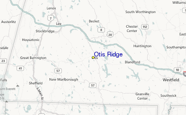
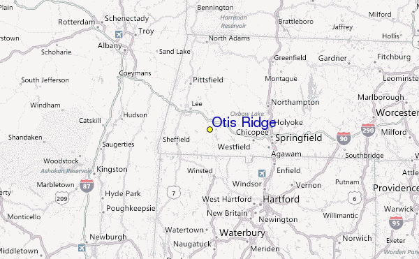
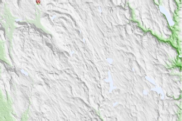
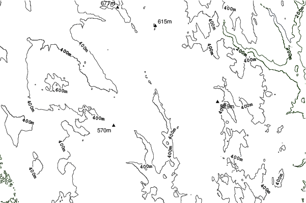
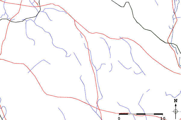
Otis Ridge Kaarten
(Zie ook onze gedetailleerde Weerkaart rond Otis Ridge, met een overzicht van huidige en toekomstige sneeuwcondities)
Recensies van bezoekers van Otis Ridge
 Weersverwachingen in Steden
Dichtbij Otis Ridge
- Westfield, United States30km
- Pittsfield, United States31km
- Holyoke, United States40km
- Northampton, United States40km
- North Chicopee, United States41km
 Surfstranden
Dichtbij Otis Ridge
- Breachway, United States142km
- Napatree Jetty, United States142km
- East Beach Lighthouse, United States143km
- Misquamicut State Beach, United States145km
- Fenway Beach, United States147km
 Bergen
Dichtbij Otis Ridge
- Monument Mountain (Berkshire County, Massachusetts), United States22km
- Tekoa Mountain, United States24km
- Osceola, United States28km
- Mount Everett, United States29km
- Mount Race, United States30km
Skigebieden en bergen rond Otis Ridge
 Nearest