

Portillo Re-Opens To Guests Arriving By Helicopter
Chile’s famous Portillo ski resort is reported to have re-opened to guests arriving by helicopter after being cut off by road for more than two weeks by over 6m/20 feet of snowfall.

Next 3 days weather summary:Meestal droog. Warm (max 25°C op donderdagochtend, min 16°C op maandagavond). Wind zal licht zijn over het algemeen. | Dagen 4-6 Niseko Moiwa WeerssamenvattingLichte regen (totaal 8.0mm), vallende meestal op zaterdagochtend. Warm (max 25°C op donderdagmiddag, min 19°C op vrijdagavond). Wind zal licht zijn over het algemeen. | ||||||||||||||||
maa 3 | dinsdag 4 | woensdag 5 | donderdag 6 | vrijdag 7 | zaterdag 8 | ||||||||||||
PM | nacht | AM | PM | nacht | AM | PM | nacht | AM | PM | nacht | AM | PM | nacht | AM | PM | nacht | |
licht bewolkt | helder | helder | helder | helder | helder | helder | helder | licht bewolkt | licht bewolkt | licht bewolkt | licht bewolkt | helder | licht bewolkt | lichte regen | kans onweer | lichte regen | |
km/h | |||||||||||||||||
Sneeuw kaart |  |  |  | 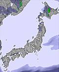 | 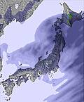 | 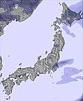 | |||||||||||
— | — | — | — | — | — | — | — | — | — | — | — | — | — | — | — | — | |
mm | — | — | — | — | — | — | — | — | — | — | — | — | — | — | 2 | 2 | 3 |
max °C | 22 | 17 | 23 | 23 | 18 | 24 | 24 | 19 | 25 | 25 | 21 | 25 | 25 | 20 | 22 | 22 | 19 |
min °C | 19 | 16 | 21 | 20 | 17 | 22 | 21 | 18 | 23 | 23 | 20 | 24 | 22 | 19 | 21 | 20 | 19 |
chill °C | 19 | 16 | 21 | 20 | 17 | 22 | 21 | 18 | 23 | 23 | 20 | 24 | 22 | 19 | 21 | 20 | 19 |
Vocht. % | 50 | 72 | 52 | 42 | 67 | 49 | 42 | 67 | 56 | 54 | 74 | 53 | 55 | 84 | 81 | 84 | 96 |
Vriespunt Niveau m | 5100 | 5300 | 5350 | 5450 | 5500 | 5550 | 5600 | 5400 | 5300 | 5300 | 5200 | 5050 | 5050 | 4900 | 4550 | 4500 | 4350 |
— | — | 4:31 | — | — | 4:31 | — | — | 4:33 | — | — | 4:33 | — | — | 4:35 | — | — | |
6:55 | — | — | 6:54 | — | — | 6:53 | — | — | 6:52 | — | — | 6:51 | — | — | 6:50 | — | |
Word pro en carve uit:
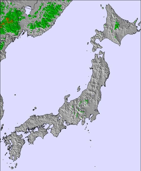
Lawine-informatie: Japan Avalanche Network
Laatste sneeuwrapporten in de buurt van Niseko Moiwa:
| Sneeuwdiepte op de top: | — |
|---|---|
| Sneeuwdiepte beneden: | — |
| Diepte verse sneeuw: | — |
| Laatste sneeuwval: | 4 May 2026 |
0.0 | Bluebird-poederdagen Verse sneeuw, meestal zonnig, lichte wind. |
|---|---|
0.0 | Poederdagen Verse sneeuw, vrij zonnig, wat wind. |
0.0 | Bluebird-dagen Gemiddelde sneeuw, meestal zonnig, lichte wind. |
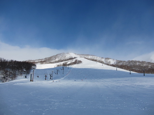
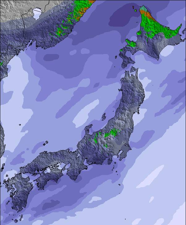
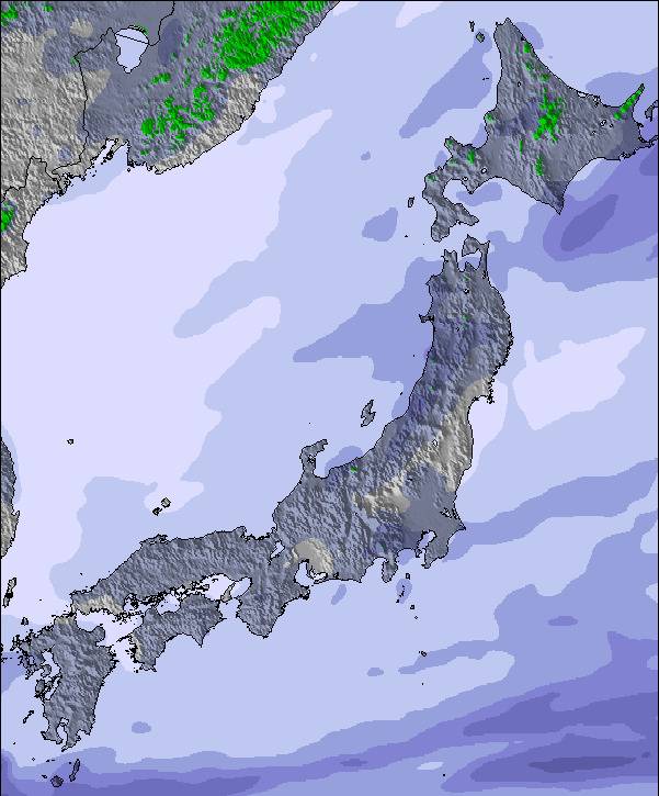
De bovenstaande tabel toont de weersverwachting voor Niseko Moiwa op een specifieke hoogte van 565 m. Onze uiterst precieze weermodellen berekenen sneeuwverwachtingen voor de top, midden en dalstations van Niseko Moiwa. Voor weersverwachtingen op andere hoogtes, gebruik de tabbladen boven de tabel. Voor meer weer overzicht, zie de weerkaart van Japan.
Klik hier voor meer informatie over sneeuwhoogten en hoe we onze temperaturen berekenen.
Algemeen 3.8 Gebaseerd op 3 Stem(men).

 Nearest