Gepubliceerd door Snow-Forecast.com om:1 am (lokale tijd) / 01 Aug 2026
Laatste 6 dagenScroll naar links voor de laatste 6 dagenNu
Next 3 days weather summary:
Lichte regen (totaal 7.0mm), vallende meestal op maandagmiddag. Warm (max 20°C op zondagmiddag, min 14°C op zaterdagochtend). Wind zal licht zijn over het algemeen.
Dagen 4-6 Mottaret Weerssamenvatting
Zware regen (totaal 27.0mm), zwaarst tijdens woensdagavond. Zeer milde (max 19°C op dinsdagmiddag, min 13°C op dinsdagavond). Wind zal licht zijn over het algemeen.
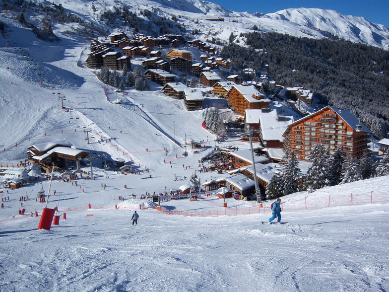
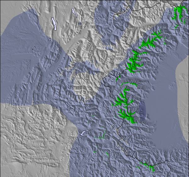
De bovenstaande tabel toont de weersverwachting voor Mottaret op een specifieke hoogte van 2200 m. Onze uiterst precieze weermodellen berekenen sneeuwverwachtingen voor de top, midden en dalstations van Mottaret. Voor weersverwachtingen op andere hoogtes, gebruik de tabbladen boven de tabel. Voor meer weer overzicht, zie de weerkaart van France.
Klik hier voor meer informatie over sneeuwhoogten en hoe we onze temperaturen berekenen.
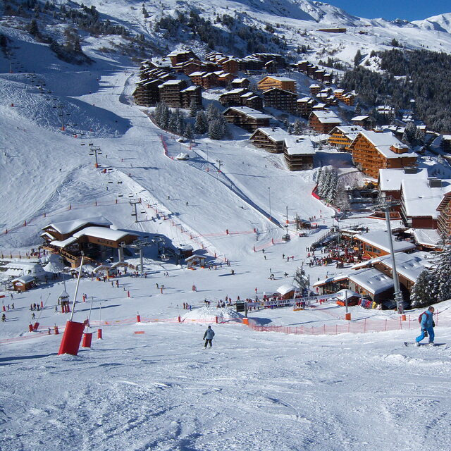
Recensies van bezoekers van Mottaret
Algemeen 4.3 Gebaseerd op 6 Stem(men) en 10 beoordelingen
I have been visiting Mottaret for 10+ years since learning to ski there when I was young.
I have also ski'd in Mayrhofen in Austria, Verbier in Switzerland, Whistler in Canada and Chamonix in France. I can say without question the 3 Valleys and Motteret is second to none!
The sheer size of the ski area is incredible, you can ski all day without having to do any runs twice. My suggestion is plan your day and destination, try and get somewhere different as there are so many places to see and experience with a variety of exciting slopes to ski.
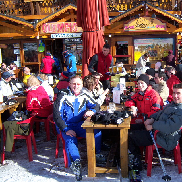
We have an apartment there so I can't say much for the accommodation, however, we have had friends stay and they give very good reviews of the hotels.
It is not cheap; the 3 valleys is the biggest and best ski resort in the world and you'll pay a premium for that, but with it you get the most incredible skiing, stunning views, lovely food and a very accessible resort.
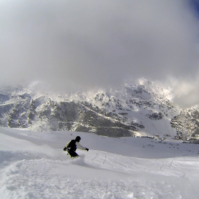
Great for beginners, who can navigate blue runs easily, and also offers plenty for the experienced skier too.
Algemeen: 4.3 Gebaseerd op 6 Stem(men) en 10 beoordelingen
Sneeuwzekerheid
4.7
Piste Vercheidenheid
4.8
Off-Piste
4.4
Landschap
4.8
Na het Skiën
4.4
James van United Kingdom schrijft:
I have been visiting Mottaret for 10+ years since learning to ski there when I was young.
I have also ski'd in Mayrhofen in Austria, Verbier in Switzerland, Whistler in Canada and Chamonix in France. I can say without question the 3 Valleys and Motteret is second to none!
The sheer size of the ski area is incredible, you can ski all day without having to do any runs twice. My suggestion is plan your day and destination, try and get somewhere different as there are so many places to see and experience with a variety of exciting slopes to ski.
We have an apartment there so I can't say much for the accommodation, however, we have had friends stay and they give very good reviews of the hotels.
It is not cheap; the 3 valleys is the biggest and best ski resort in the world and you'll pay a premium for that, but with it you get the most incredible skiing, stunning views, lovely food and a very accessible resort.
Great for beginners, who can navigate blue runs easily, and also offers plenty for the experienced skier too.
Gratis Snow-Forecast.com weer-widget voor op je website
De skiweer-widget voor Mottaret is beschikbaar om gratis op te nemen op externe websites. De widget levert een dagelijkse samenvatting van onze sneeuwverwachtingen voor Mottaret en de huidige weersomstandigheden daar. Ga naar de configuratiepagina en volg de drie eenvoudige stappen om de aangepaste html-code te kopiëren en in uw site te plakken. U kunt de hoogte van de sneeuwvoorspelling kiezen (top, midden van de berg of dalstation) en metrische of imperiale eenheden voor de sneeuwverwachting, aangepast op uw eigen website…. Klik hier om de code te krijgen.


 Nearest