

America’s Next Indoor Snow Centre Takes Shape
Construction of a new indoor snow centre for skiers, boarders and tubers appears to be making good progress at Heritage Farm in Wayne County, West Virginia.

Next 3 days weather summary:Lichte regen (totaal 8.0mm), vallende meestal op dinsdagochtend. Zeer milde (max 13°C op woensdagmiddag, min 8°C op dinsdagavond). Wind zal licht zijn over het algemeen. | Dagen 4-6 Montchavin WeerssamenvattingZware regen (totaal 31.0mm), zwaarst tijdens zaterdagavond. Zeer milde (max 18°C op zaterdagmiddag, min 6°C op zondagavond). Wind zal licht zijn over het algemeen. | |||||||||||||||||
dinsdag 21 | woensdag 22 | donderdag 23 | vrijdag 24 | zaterdag 25 | zondag 26 | |||||||||||||
AM | PM | nacht | AM | PM | nacht | AM | PM | nacht | AM | PM | nacht | AM | PM | nacht | AM | PM | nacht | |
kans onweer | kans onweer | regenbuien | helder | helder | helder | licht bewolkt | helder | helder | helder | helder | helder | licht bewolkt | licht bewolkt | kans onweer | kans onweer | lichte regen | lichte regen | |
km/h | ||||||||||||||||||
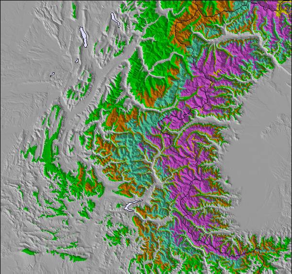
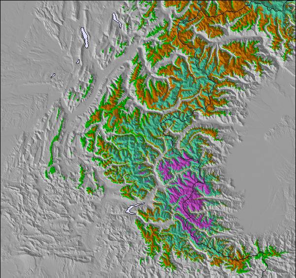
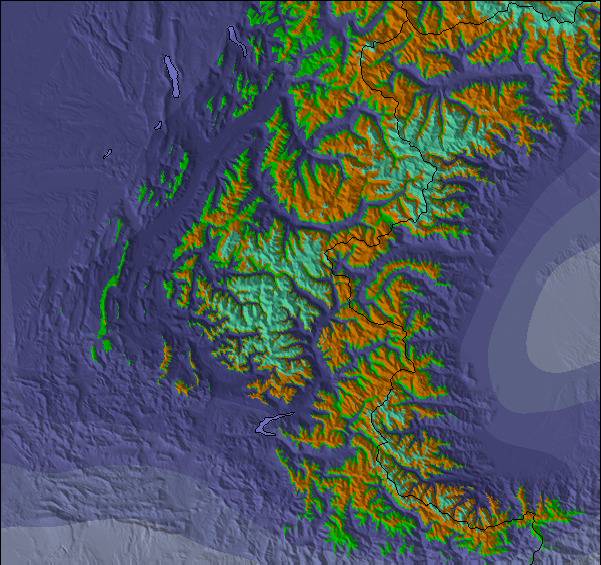
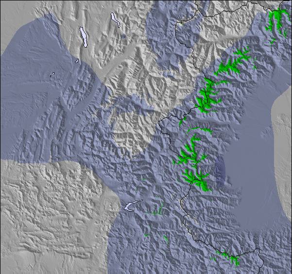
Sneeuw kaart |  |  |  |  |  |  | ||||||||||||
— | — | — | — | — | — | — | — | — | — | — | — | — | — | — | — | — | — | |
mm | 4 | 3 | 1 | — | — | — | — | — | — | — | — | — | — | — | 19 | 2 | 5 | 5 |
max °C | 11 | 11 | 10 | 11 | 13 | 12 | 10 | 12 | 10 | 13 | 14 | 14 | 16 | 18 | 14 | 9 | 9 | 8 |
min °C | 10 | 11 | 8 | 9 | 13 | 8 | 9 | 12 | 8 | 10 | 14 | 12 | 14 | 17 | 8 | 9 | 8 | 6 |
chill °C | 9 | 10 | 8 | 9 | 12 | 8 | 8 | 11 | 8 | 10 | 14 | 12 | 14 | 17 | 7 | 9 | 7 | 4 |
Vocht. % | 68 | 62 | 50 | 28 | 50 | 42 | 41 | 51 | 46 | 21 | 37 | 32 | 35 | 48 | 97 | 80 | 79 | 98 |
Vriespunt Niveau m | 3700 | 3600 | 3800 | 4000 | 3950 | 4000 | 3700 | 3750 | 4050 | 4350 | 4200 | 4350 | 4350 | 4350 | 3600 | 3500 | 3600 | 3350 |
6:03 | — | — | 6:03 | — | — | 6:05 | — | — | 6:07 | — | — | 6:07 | — | — | 6:09 | — | — | |
— | — | 9:14 | — | — | 9:13 | — | — | 9:12 | — | — | 9:10 | — | — | 9:09 | — | — | 9:08 | |
Word pro en carve uit:
Lawine-informatie: European Avalanche Warning Services (EAWS)
Laatste sneeuwrapporten in de buurt van Montchavin:
| Sneeuwdiepte op de top: | — |
|---|---|
| Sneeuwdiepte beneden: | — |
| Diepte verse sneeuw: | — |
| Laatste sneeuwval: | 4 Jun 2026 |
0.0 | Bluebird-poederdagen Verse sneeuw, meestal zonnig, lichte wind. |
|---|---|
0.0 | Poederdagen Verse sneeuw, vrij zonnig, wat wind. |
0.0 | Bluebird-dagen Gemiddelde sneeuw, meestal zonnig, lichte wind. |
De bovenstaande tabel toont de weersverwachting voor Montchavin op een specifieke hoogte van 2250 m. Onze uiterst precieze weermodellen berekenen sneeuwverwachtingen voor de top, midden en dalstations van Montchavin. Voor weersverwachtingen op andere hoogtes, gebruik de tabbladen boven de tabel. Voor meer weer overzicht, zie de weerkaart van France.
Klik hier voor meer informatie over sneeuwhoogten en hoe we onze temperaturen berekenen.
Algemeen 4.5 Gebaseerd op 8 Stem(men) en 8 beoordelingen
Montchavin is an old mountain village where you can smell the animals tucked away safely for the winter as you wander through the beautiful traditional village centre. It is essentially a family resort and the ski schools are excellent. There is a beginners area for children at the bottom of the slope by the first lift up and a newly developed larger area for adult beginners just up 2 lifts. There are limited bars and restaurants in the village, so they do get busy, but most people self cater out here. There is a free bus service between Montchavin and Les Coches, which allows visitors to benefit from the facilities in both villages - e.g the cinema and pool in Montchavin, and the ice rink in Les Coches. The locals are very friendly, there is a tourist information office in both Montchavin and Les Coches with loads of events each week, so non-skiers will be able to find something of interest to do. Although the village is low down, the pisteurs do a fantastic job each year keeping routes open. Snow cannons are in use if snow conditions are low and temperature allows. In recent years with climate change, we have always managed to ski back to the village and if you don't fancy it, you can download on two bubbles. The fantastic thing about Montchavin/Les Coches is its location slap bang in the middle of Paradiski. We leave our apartment, ski down to the first lift and at the top decide whether to head left or right for Les Arcs or La Plagne. So easy to access the whole Paradiski area with such a lot of varied terrain and runs and some excellent off-piste to be found if you know where to go. Get a guide - they'll be able to show you some great routes. When it's white-out conditions and blowing a gale higher up, you can ski some lovely tree lined runs just in and above Montchavin/Les Coches. I really can't recommend it enough.
Joanne W van United Kingdom schrijft:
Montchavin is an old mountain village where you can smell
the animals tucked away safely for the winter as you wander through the beautiful traditional village centre. It is essentially a family resort and the ski schools are excellent. There is a beginners area for children at the bottom of the slope by the first lift up and a newly developed larger area for adult beginners just up 2 lifts. There are limited bars and restaurants in the village, so they do get busy, but most people self cater out here. There is a free bus service between Montchavin and Les Coches, which allows visitors to benefit from the facilities in both villages - e.g the cinema and pool in Montchavin, and the ice rink in Les Coches. The locals are very friendly, there is a tourist information office in both Montchavin and Les Coches with loads of events each week, so non-skiers will be able to find something of interest to do. Although the village is low down, the pisteurs do a fantastic job each year keeping routes open. Snow cannons are in use if snow conditions are low and temperature allows. In recent years with climate change, we have always managed to ski back to the village and if you don't fancy it, you can download on two bubbles. The fantastic thing about Montchavin/Les Coches is its location slap bang in the middle of Paradiski. We leave our apartment, ski down to the first lift and at the top decide whether to head left or right for Les Arcs or La Plagne. So easy to access the whole Paradiski area with such a lot of varied terrain and runs and some excellent off-piste to be found if you know where to go. Get a guide - they'll be able to show you some great routes. When it's white-out conditions and blowing a gale higher up, you can ski some lovely tree lined runs just in and above Montchavin/Les Coches. I really can't recommend it enough.

 Nearest