Gepubliceerd door Snow-Forecast.com om:7 am (lokale tijd) / 02 Aug 2026
Laatste 6 dagenScroll naar links voor de laatste 6 dagenNu
Next 3 days weather summary:
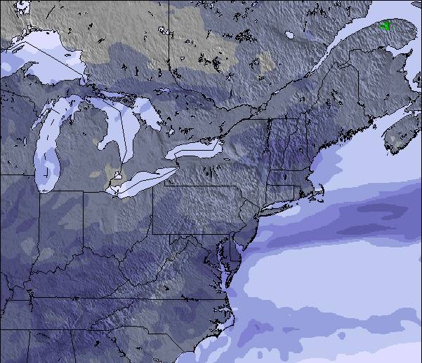
Zware regen (totaal 35.0mm), zwaarst tijdens maandagochtend. Warm (max 22°C op zondagmiddag, min 10°C op maandagavond). Afnemende wind (frisse wind van de NW op maandagavond, Lichte wind van de WSW bij dinsdagavond).
Dagen 4-6 Jay Peak Weerssamenvatting
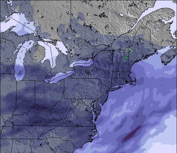
Matige regen (totaal 12.0mm), zwaarst op donderdagmiddag. Warm (max 26°C op woensdagmiddag, min 16°C op vrijdagavond). Wind zal licht zijn over het algemeen.
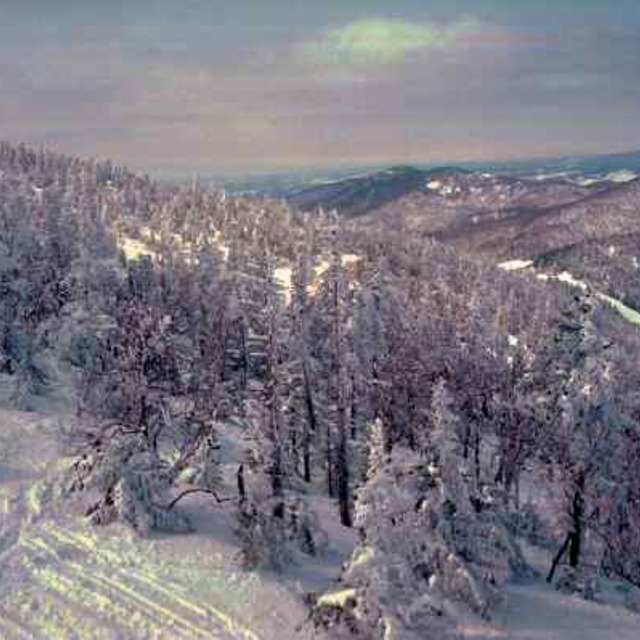
De bovenstaande tabel toont de weersverwachting voor Jay Peak op een specifieke hoogte van 553 m. Onze uiterst precieze weermodellen berekenen sneeuwverwachtingen voor de top, midden en dalstations van Jay Peak. Voor weersverwachtingen op andere hoogtes, gebruik de tabbladen boven de tabel. Voor meer weer overzicht, zie de weerkaart van United States.
Klik hier voor meer informatie over sneeuwhoogten en hoe we onze temperaturen berekenen.
Recensies van bezoekers van Jay Peak
Algemeen 3.8 Gebaseerd op 23 Stem(men) en 9 beoordelingen
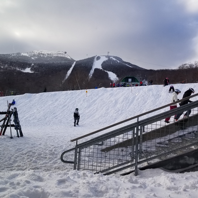
Lets face it, we're not comparing the terrain here to that of the phenomenal ski circuses found in the Austrian Alps, so getting grounded on that thought Jay Peak is one of the best to be skied venues in Eastern N.A.! You get the best chances for fresh here, combined with a reasonable consistent vertical drop and an assortment of runs ( I'd like to highlight the glades, moguls and piste pitch). It is, however, expensive to stay overnight on or off hill but does offer a great indoor waterpark for family; fyi: not pet friendly! They will fine you for it without compromise! Check out the General Store in Jay for a fabulous "Slab" sandwich and whatever else too!
Algemeen: 3.8 Gebaseerd op 23 Stem(men) en 9 beoordelingen
Sneeuwzekerheid
4.1
Piste Vercheidenheid
4.3
Off-Piste
4.6
Landschap
3.9
Na het Skiën
3.6
Mark van Canada schrijft:
Lets face it, we're not comparing the terrain here to that of the phenomenal ski circuses found in the Austrian Alps, so getting grounded on that thought Jay Peak is one of the best to be skied venues in Eastern N.A.! You get the best chances for fresh here, combined with a reasonable consistent vertical drop and an assortment of runs ( I'd like to highlight the glades, moguls and piste pitch). It is, however, expensive to stay overnight on or off hill but does offer a great indoor waterpark for family; fyi: not pet friendly! They will fine you for it without compromise! Check out the General Store in Jay for a fabulous "Slab" sandwich and whatever else too!
Gratis Snow-Forecast.com weer-widget voor op je website
De skiweer-widget voor Jay Peak is beschikbaar om gratis op te nemen op externe websites. De widget levert een dagelijkse samenvatting van onze sneeuwverwachtingen voor Jay Peak en de huidige weersomstandigheden daar. Ga naar de configuratiepagina en volg de drie eenvoudige stappen om de aangepaste html-code te kopiëren en in uw site te plakken. U kunt de hoogte van de sneeuwvoorspelling kiezen (top, midden van de berg of dalstation) en metrische of imperiale eenheden voor de sneeuwverwachting, aangepast op uw eigen website…. Klik hier om de code te krijgen.


 Nearest