
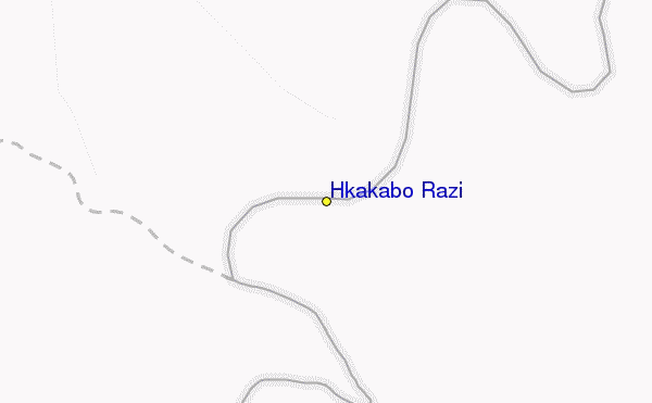
Skigebied Gids Hkakabo Razi
Piste Statistieken
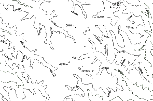
5881m
1524m
4357m
- Oppervlakte:-
- Pistes:-
- Kunstsneeuw:-
- Halfpipes:-
- Terrainparks:-
- Cross-Country:-
- Beginners-
- intermediair-
- Gevorderd-

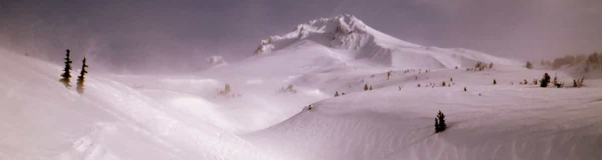
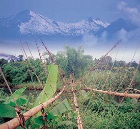
Hkakabo Razi is the highest mountain in Myanmar at 19,294 feet (5,881 metres and Myanmar was, until 1987, known as Burma.) The summit tip borders Tibet and India, also. The mountain is an extension of the Eastern Himalayas. Although low in comparison with Himalayan giants, Hkakabo Razi is perennially snow capped. Hkakabo Razi lies in the Hkakabo Razi protected area, established in 1996 which covers over 3812 square kilometres. Before 1993 this area was not accessable to foreigners. The first recorded attempt at the peak was made in 1995 by Takashai Ozaki, from Japan. He failed due to persistent bad weather. A year later he returned, and this time succeeded. Nyama Gyaltsen from Myanmar made it too. Like the main Himalayas, these mountains are heavily affected by the monsoon. Hkakabo Razi is certainly not a walk up. Huge cliffs with D+ climbing, hanging glaciers with large crevasses, and cornices, makes it a mountain not to be toyed with. The approach to the mountain is a major obstacle: there are unstable bridges, over huge gorges. For the most part, journeys are made on foot along footpaths that hug the mountainside and wind through dense jungle undergrowth. Ozaki demands four weeks walking to approach the base camp above 3000m/10000ft.
Reizen
- Dichtstbijz. Vliegveld:Rangoon
- Dichtstbijzijnde Treinstation:-
- Toursiten Info Website:www.peakware.com/encyclopedia/peaks/addapeak697.htm
- Overnachting in gebied:-
 -
- -
-
Liften
- Seizoen begint:
- Seizoen sluit:
- Lifts:-
 -
-

Laatste Sneeuw VerslagVolle sneeuw rapport zien
- Uitgeleverd:20 Jul
- Laatste sneeuwval:20 Jul 2026
- Sneeuw Diepte (bovenste):–
- Sneeuw Diepte (onderste):–
- Piste:—
- Off-piste:—
Weer Vandaag (5119 m)Volle Sneeuwverwachting zien
| AM | 4 °C | Vriespunt 5750 m | ||
| PM | 4 °C | Vriespunt 5550 m | ||
| nacht | 2 °C | Vriespunt 5350 m |
Skigebieden in de buurt van Hkakabo Razi:
- Auli 1744km
- Manali (Himachal Heli-Ski) 1990km
- Kufri 1991km
- Solang Valley Ropeway & Ski Centre 1992km
- Changchengling Ski Resort 2137km
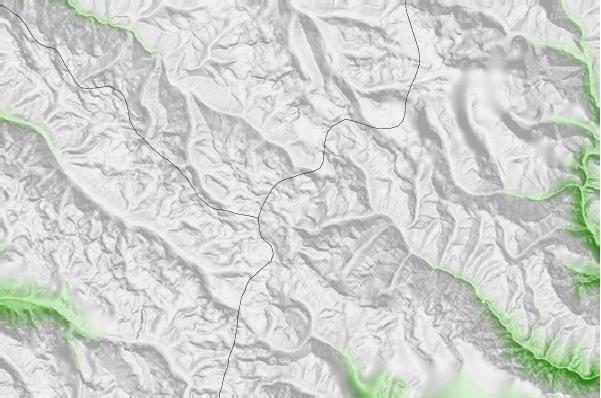
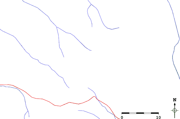
Hkakabo Razi Kaarten
(Zie ook onze gedetailleerde Weerkaart rond Hkakabo Razi, met een overzicht van huidige en toekomstige sneeuwcondities)
Recensies van bezoekers van Hkakabo Razi
Roger van Canada schrijft:
There was a plan to build a resort on this mountain led by former billionaire Thai Prime Minister Taksin. Of course, nothing came of it because it probably made little sense.
 Weersverwachingen in Steden
Dichtbij Hkakabo Razi
- Pasighat, India202km
- Tinsukia, India215km
- Dibrugarh, India270km
- Sibsagar, India306km
- Myitkyina, Myanmar (Burma)318km
 Surfstranden
Dichtbij Hkakabo Razi
- Cox's Bazar, Bangladesh933km
- Puri Beach, India1503km
- Dadonghai, China1665km
- Jinzonglu, China1674km
- Ocean Bay Golf Club, China1685km
 Bergen
Dichtbij Hkakabo Razi
- Hkakabo Razi, Myanmar11km
- Kang Karpo, China119km
- Bairiga, China122km
- Kawagebo or Kawagarbo, China129km
- Bumhpa Bum, Myanmar174km
Skigebieden en bergen rond Hkakabo Razi
 Nearest