

Portillo Re-Opens To Guests Arriving By Helicopter
Chile’s famous Portillo ski resort is reported to have re-opened to guests arriving by helicopter after being cut off by road for more than two weeks by over 6m/20 feet of snowfall.

Next 3 days weather summary:Zware regen (totaal 32.0mm), zwaarst tijdens woensdagavond. Zeer milde (max 13°C op maandagmiddag, min 9°C op woensdagochtend). Wind zal licht zijn over het algemeen. | Dagen 4-6 Garmisch-Partenkirchen-Zugspitze WeerssamenvattingZware regen (totaal 27.0mm), zwaarst tijdens donderdagmiddag. Zeer milde (max 10°C op donderdagmiddag, min 6°C op donderdagavond). Wind zal licht zijn over het algemeen. | ||||||||||||||||
maa 3 | dinsdag 4 | woensdag 5 | donderdag 6 | vrijdag 7 | zaterdag 8 | ||||||||||||
PM | nacht | AM | PM | nacht | AM | PM | nacht | AM | PM | nacht | AM | PM | nacht | AM | PM | nacht | |
licht bewolkt | licht bewolkt | helder | kans onweer | regenbuien | helder | kans onweer | regenbuien | kans onweer | kans onweer | zware regen | kans onweer | kans onweer | licht bewolkt | helder | kans onweer | regenbuien | |
km/h | |||||||||||||||||
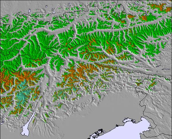
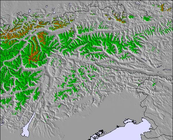
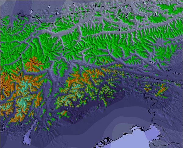
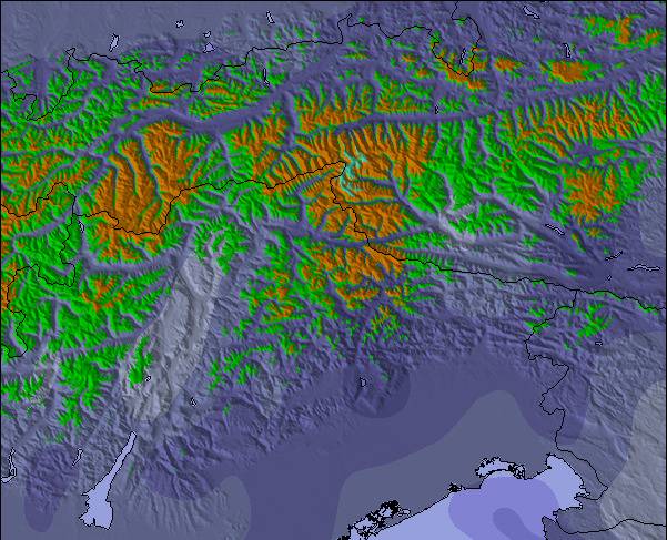
Sneeuw kaart |  |  |  |  |  |  | |||||||||||
— | — | — | — | — | — | — | — | — | — | — | — | — | — | — | — | — | |
mm | — | — | — | 6 | 2 | — | 3 | 19 | 2 | 11 | 11 | 2 | 1 | — | — | 1 | 1 |
max °C | 13 | 12 | 12 | 12 | 13 | 10 | 11 | 10 | 10 | 10 | 8 | 6 | 7 | 7 | 7 | 8 | 9 |
min °C | 12 | 12 | 11 | 12 | 10 | 9 | 11 | 9 | 9 | 10 | 6 | 6 | 7 | 6 | 7 | 8 | 8 |
chill °C | 11 | 11 | 11 | 12 | 10 | 9 | 11 | 8 | 9 | 10 | 5 | 6 | 7 | 5 | 6 | 7 | 6 |
Vocht. % | 60 | 59 | 58 | 62 | 74 | 80 | 86 | 87 | 76 | 78 | 98 | 90 | 87 | 88 | 86 | 85 | 32 |
Vriespunt Niveau m | 4550 | 4550 | 4500 | 4600 | 4500 | 4400 | 4450 | 4300 | 4300 | 4300 | 3950 | 3900 | 3950 | 3950 | 3950 | 4050 | 4300 |
— | — | 5:56 | — | — | 5:58 | — | — | 5:58 | — | — | 6:00 | — | — | 6:01 | — | — | |
— | 8:47 | — | — | 8:45 | — | — | 8:45 | — | — | 8:43 | — | — | 8:42 | — | — | 8:39 | |
Word pro en carve uit:
Lawine-informatie: European Avalanche Warning Services (EAWS)
Laatste sneeuwrapporten in de buurt van Garmisch-Partenkirchen-Zugspitze:
| Sneeuwdiepte op de top: | 0 cm |
|---|---|
| Sneeuwdiepte beneden: | 0 cm |
| Diepte verse sneeuw: | — |
| Laatste sneeuwval: | 10 Jun 2026 |
0.1 | Bluebird-poederdagen Verse sneeuw, meestal zonnig, lichte wind. |
|---|---|
0.1 | Poederdagen Verse sneeuw, vrij zonnig, wat wind. |
0.1 | Bluebird-dagen Gemiddelde sneeuw, meestal zonnig, lichte wind. |
De bovenstaande tabel toont de weersverwachting voor Garmisch-Partenkirchen-Zugspitze op een specifieke hoogte van 2830 m. Onze uiterst precieze weermodellen berekenen sneeuwverwachtingen voor de top, midden en dalstations van Garmisch-Partenkirchen-Zugspitze. Voor weersverwachtingen op andere hoogtes, gebruik de tabbladen boven de tabel. Voor meer weer overzicht, zie de weerkaart van Germany.
Klik hier voor meer informatie over sneeuwhoogten en hoe we onze temperaturen berekenen.
Algemeen 4.1 Gebaseerd op 15 Stem(men) en 10 beoordelingen
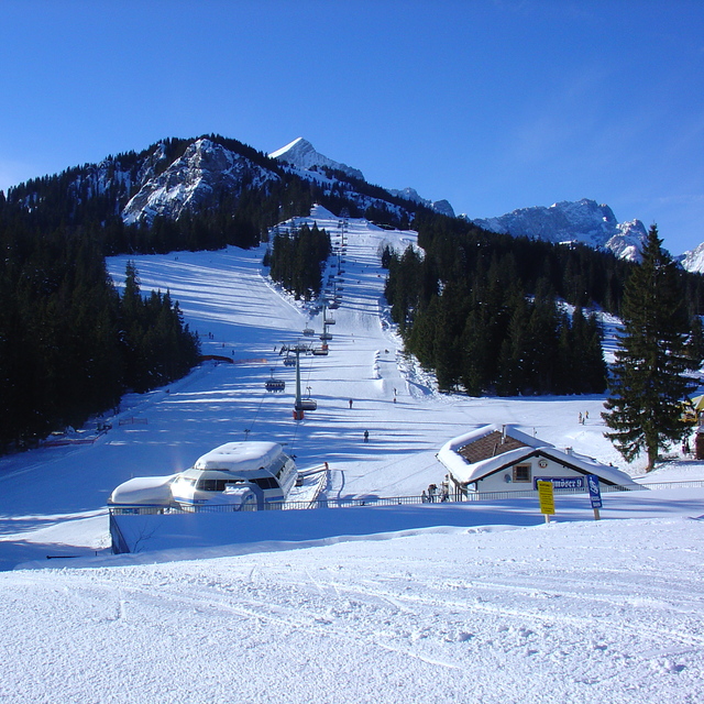
Went skiing for a weekend in February 2012, stayed at the excellent Hostel der Athleten which is right by the Olympic ski jump. Snow conditions were perfect and despite being advised this was the busiest weekend of the year we did not find long waits at lifts or the slopes crowded. The queues there were very polite and orderly, and the lift systems 1st class, very impressed. Skiing area is not massive so a weekend was enough to ski all the 'Classic' area, we did not go up to the Zugspitze as the conditions closed in a bit on the 2nd day. The Kandahar run and the other runs down to the valley are superb and long if the snow is good all the way down (which it was when we were there). We hired ski's etc from the ski school at the bottom of the Hausberg lift, again very well organised. We ate at the Fraundorfer (trad Bavarian) and a Pizza place down the road in the Partenkirchen area (which was very pretty), Late nights there is only one place to go, Peaches in the Marianplatz area was great fun, check out their Mega Zombie cocktails if you are feeling brave and there is enough of you. Will defo be back as its only an hours drive from Munich, so can easily tag a weekend on the end of a work meeting.
Tony van United Kingdom schrijft:
Went skiing for a weekend in February 2012, stayed at the excellent Hostel der Athleten which is right by the Olympic ski jump.
Snow conditions were perfect and despite being advised this was the busiest weekend of the year we did not find long waits at lifts or the slopes crowded. The queues there were very polite and orderly, and the lift systems 1st class, very impressed. Skiing area is not massive so a weekend was enough to ski all the 'Classic' area, we did not go up to the Zugspitze as the conditions closed in a bit on the 2nd day. The Kandahar run and the other runs down to the valley are superb and long if the snow is good all the way down (which it was when we were there). We hired ski's etc from the ski school at the bottom of the Hausberg lift, again very well organised. We ate at the Fraundorfer (trad Bavarian) and a Pizza place down the road in the Partenkirchen area (which was very pretty), Late nights there is only one place to go, Peaches in the Marianplatz area was great fun, check out their Mega Zombie cocktails if you are feeling brave and there is enough of you. Will defo be back as its only an hours drive from Munich, so can easily tag a weekend on the end of a work meeting.
Lees 9 meer recensies van Garmisch-Partenkirchen-Zugspitze of stuur je eigen in

 Nearest