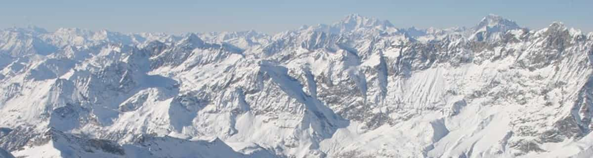


Portillo Storm Snowfall Total Passes 5m / 17 Feet
A snow storm that has now continued for nine days has taken Chilean ski resort Portillo to a snowfall total of 5.2 metres (17 feet) so far, with more snow forecast.

Next 3 days weather summary:Lichte regen (totaal 7.0mm), vallende meestal op maandagmiddag. Warm (max 32°C op donderdagochtend, min 13°C op maandagavond). Wind zal licht zijn over het algemeen. | Dagen 4-6 Eschenlohe WeerssamenvattingMatige regen (totaal 17.0mm), zwaarst op zaterdagmiddag. Warm (max 34°C op donderdagmiddag, min 16°C op zaterdagavond). Wind zal licht zijn over het algemeen. | ||||||||||||||||
maa 27 | dinsdag 28 | woensdag 29 | donderdag 30 | vrijdag 31 | zaterdag 1 | ||||||||||||
PM | nacht | AM | PM | nacht | AM | PM | nacht | AM | PM | nacht | AM | PM | nacht | AM | PM | nacht | |
regenbuien | regenbuien | helder | helder | helder | helder | licht bewolkt | helder | helder | helder | helder | licht bewolkt | helder | regenbuien | licht bewolkt | gem. regen | regenbuien | |
km/h | |||||||||||||||||
Sneeuw kaart |  |  |  |  |  |  | |||||||||||
— | — | — | — | — | — | — | — | — | — | — | — | — | — | — | — | — | |
mm | 6 | 1 | — | — | — | — | — | — | — | — | — | — | — | 3 | — | 10 | 4 |
max °C | 20 | 19 | 24 | 27 | 22 | 28 | 30 | 25 | 32 | 34 | 26 | 32 | 34 | 25 | 29 | 31 | 19 |
min °C | 20 | 13 | 18 | 27 | 16 | 21 | 28 | 18 | 22 | 33 | 19 | 23 | 33 | 17 | 21 | 21 | 16 |
chill °C | 20 | 13 | 18 | 27 | 16 | 21 | 28 | 18 | 22 | 33 | 19 | 23 | 33 | 17 | 21 | 21 | 16 |
Vocht. % | 78 | 78 | 53 | 44 | 72 | 47 | 47 | 62 | 28 | 20 | 46 | 28 | 25 | 72 | 43 | 80 | 79 |
Vriespunt Niveau m | 3850 | 4000 | 4400 | 4550 | 4500 | 4350 | 4350 | 4350 | 4400 | 4600 | 4700 | 4650 | 4750 | 4500 | 4500 | 4250 | 4450 |
— | — | 5:46 | — | — | 5:48 | — | — | 5:48 | — | — | 5:50 | — | — | 5:50 | — | — | |
— | 8:57 | — | — | 8:54 | — | — | 8:53 | — | — | 8:52 | — | — | 8:51 | — | — | 8:50 | |
Word pro en carve uit:
Lawine-informatie: European Avalanche Warning Services (EAWS)
Laatste sneeuwrapporten in de buurt van Eschenlohe:
| Sneeuwdiepte op de top: | — |
|---|---|
| Sneeuwdiepte beneden: | — |
| Diepte verse sneeuw: | — |
| Laatste sneeuwval: | 31 Mar 2026 |
0.0 | Bluebird-poederdagen Verse sneeuw, meestal zonnig, lichte wind. |
|---|---|
0.0 | Poederdagen Verse sneeuw, vrij zonnig, wat wind. |
0.0 | Bluebird-dagen Gemiddelde sneeuw, meestal zonnig, lichte wind. |
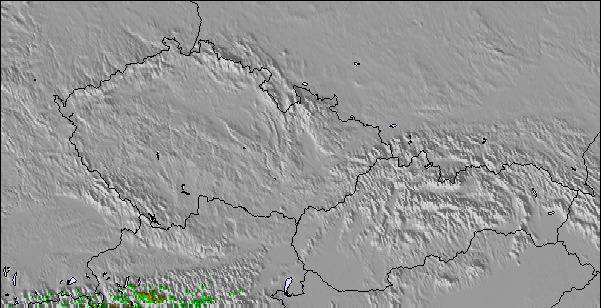
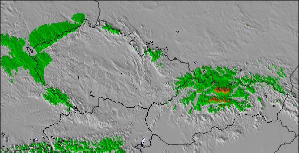
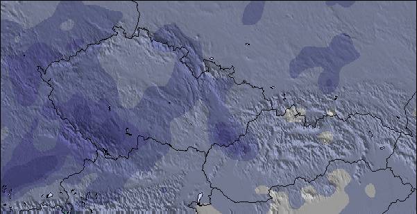
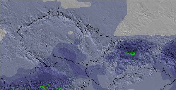
De bovenstaande tabel toont de weersverwachting voor Eschenlohe op een specifieke hoogte van 650 m. Onze uiterst precieze weermodellen berekenen sneeuwverwachtingen voor de top, midden en dalstations van Eschenlohe. Voor weersverwachtingen op andere hoogtes, gebruik de tabbladen boven de tabel. Voor meer weer overzicht, zie de weerkaart van Germany.
Klik hier voor meer informatie over sneeuwhoogten en hoe we onze temperaturen berekenen.

 Nearest