
North American Weekly Snow Roundup #307
Weekly Snow News for North America, updated 26 March 2026: Record 1.3m (52") Midwest snowfall contrasts with extreme western US warmth.


Weyregg at the Attersee/Wachtberglifts Weather (Next 3 days): The snow forecast for Weyregg at the Attersee/Wachtberglifts is: Sneeuw besprenkeling op donderdagmiddag. Stijgende vorst niveau met motregen op vrijdagmiddag. Bevriezen-ontdooien voorwaarden (max 5°C op zaterdagmiddag, min -2°C op donderdagavond). Wind zal licht zijn over het algemeen.
Weyregg at the Attersee/Wachtberglifts Weather (Days 4-6): Zware sneeuwval, zwaarste tijdens maandagmiddag. Steeds milder met lichte regen (totaal 2.0mm) op woensdagochtend. Bevriezen-ontdooien voorwaarden (max 3°C op maandagochtend, min -1°C op maandagavond). Meer wind (Lichte wind van de W op zondagmiddag, sterke wind van de WNW bij dinsdagochtend).
| Resort | Sneeuw Diepte | Temp. (°C) | Wind (km/h) | Weer | ||
|---|---|---|---|---|---|---|
| Bovenaan lift: | -1 | |||||
| Onderaan lift: | 2 |

Thu 26 | Friday 27 | Saturday 28 | Sunday 29 | Monday 30 | Tuesday 31 | ||||||||||||
PM | nacht | AM | PM | nacht | AM | PM | nacht | AM | PM | nacht | AM | PM | nacht | AM | PM | nacht | |
lichte sneeuw | lichte sneeuw | lichte sneeuw | lichte sneeuw | licht bewolkt | helder | bewolkt | lichte sneeuw | lichte sneeuw | lichte sneeuw | lichte sneeuw | bewolkt | gem. sneeuw | gem. sneeuw | lichte sneeuw | gem. sneeuw | lichte sneeuw | |
km/h | |||||||||||||||||
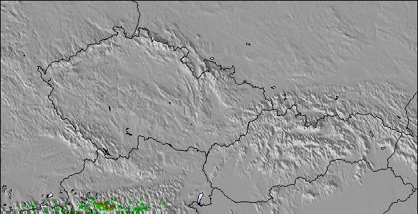
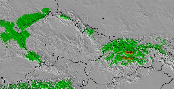
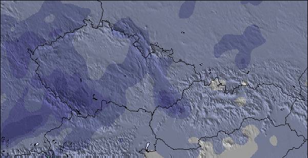
Snow map |  | 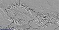 | 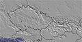 | 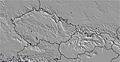 | 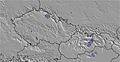 | 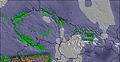 | |||||||||||
2 | 1 | — | — | — | — | — | — | 1 | — | — | — | 6 | 8 | 4 | 5 | 4 | |
— | — | — | 1 | — | — | — | — | — | — | — | — | — | — | — | — | — | |
max °C | 2 | -1 | 1 | 3 | -1 | 4 | 5 | 2 | 2 | 2 | 1 | 3 | 2 | 1 | 1 | 2 | 1 |
min °C | 1 | -2 | 0 | 1 | -2 | 2 | 3 | 0 | 1 | 1 | 0 | 2 | 2 | -1 | 0 | 1 | 1 |
-4 | -6 | -3 | 0 | -2 | 2 | 1 | -3 | -2 | -1 | -4 | -3 | -3 | -8 | -7 | -6 | -5 | |
81 | 88 | 80 | 66 | 78 | 66 | 70 | 89 | 96 | 96 | 93 | 81 | 99 | 95 | 95 | 97 | 95 | |
900 | 450 | 650 | 950 | 0 | 900 | 1250 | 850 | 800 | 900 | 800 | 850 | 900 | 600 | 600 | 900 | 800 | |
— | — | 5:54 | — | — | 5:52 | — | — | 6:50 | — | — | 5:48 | — | — | 5:47 | — | — | |
6:25 | — | — | 6:27 | — | — | 6:29 | — | — | 7:30 | — | — | 6:31 | — | — | 6:32 | — | |
Sneeuw besprenkeling op donderdagmiddag. Stijgende vorst niveau met motregen op vrijdagmiddag. Bevriezen-ontdooien voorwaarden (max 5°C op zaterdagmiddag, min -2°C op donderdagavond). Wind zal licht zijn over het algemeen.
Zware sneeuwval, zwaarste tijdens maandagmiddag. Steeds milder met lichte regen (totaal 2.0mm) op woensdagochtend. Bevriezen-ontdooien voorwaarden (max 3°C op maandagochtend, min -1°C op maandagavond). Meer wind (Lichte wind van de W op zondagmiddag, sterke wind van de WNW bij dinsdagochtend).
Laatste sneeuwrapporten in de buurt van Weyregg at the Attersee/Wachtberglifts:
Continuous light snow reported from Feuerkogel at 1620 metres elevation only 2 kms WSW of Ebensee am Traunsee Ski Resort van Ebensee am Traunsee
| Sneeuwdiepte op de top: | — |
|---|---|
| Sneeuwdiepte beneden: | — |
| Diepte verse sneeuw: | 7 cm |
| Laatste sneeuwval: | 25 Mar 2026 |
0.1 | Bluebird-poederdagen Verse sneeuw, meestal zonnig, lichte wind. |
|---|---|
0.1 | Poederdagen Verse sneeuw, vrij zonnig, wat wind. |
0.1 | Bluebird-dagen Gemiddelde sneeuw, meestal zonnig, lichte wind. |
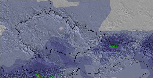
De bovenstaande tabel toont de weersverwachting voor Weyregg at the Attersee/Wachtberglifts op een specifieke hoogte van 652 m. Onze uiterst precieze weermodellen berekenen sneeuwverwachtingen voor de top, midden en dalstations van Weyregg at the Attersee/Wachtberglifts. Voor weersverwachtingen op andere hoogtes, gebruik de tabbladen boven de tabel. Voor meer weer overzicht, zie de weerkaart van Austria.
Klik hier voor meer informatie over sneeuwhoogten en hoe we onze temperaturen berekenen.
Skigebied wordt ook geschreven als Weyregg at the Attersee-Wachtberglifts.

 Nearest