

Global Weekly Snow Roundup #314
Weekly Global Snow News, updated 14 May 2026: Fresh snowfall in Argentina, Australia and Lesotho signals winter’s approach, while Japan maintains the world’s deepest snowpack.

Next 3 days weather summary:Sneeuw besprenkeling die voorrang geeft aan matige regen (totaal 11.0mm) zwaarst op maandagmiddag. Bevriezen-ontdooien voorwaarden (max 6°C op zondagmiddag, min -3°C op zaterdagochtend). Wind zal licht zijn over het algemeen. | Days 4-6 weather summary:Lichte regen (totaal 5.0mm), vallende meestal op dinsdagmiddag. Zeer milde (max 13°C op donderdagmiddag, min 3°C op dinsdagochtend). Wind zal licht zijn over het algemeen. | |||||||||||||||||
Saturday 16 | Sunday 17 | Monday 18 | Tuesday 19 | Wednesday 20 | Thursday 21 | |||||||||||||
AM | PM | nacht | AM | PM | nacht | AM | PM | nacht | AM | PM | nacht | AM | PM | nacht | AM | PM | nacht | |
lichte sneeuw | sneeuw buien | helder | licht bewolkt | bewolkt | licht bewolkt | lichte regen | regen buien | lichte regen | bewolkt | lichte regen | regen buien | helder | licht bewolkt | licht bewolkt | licht bewolkt | licht bewolkt | helder | |
km/h | ||||||||||||||||||
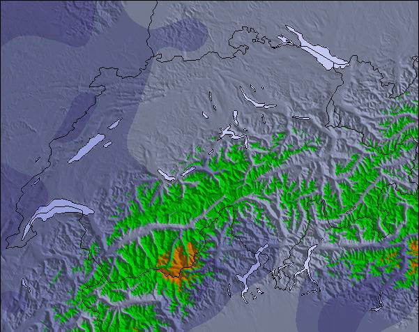
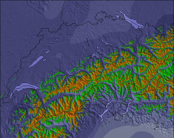
Snow map |  |  |  |  |  |  | ||||||||||||
— | 1 | — | — | — | — | — | — | — | — | — | — | — | — | — | — | — | — | |
— | — | — | — | — | — | 1 | 5 | 5 | — | 3 | 2 | — | — | — | — | — | — | |
max °C | -1 | 2 | 1 | 4 | 6 | 5 | 3 | 5 | 5 | 5 | 5 | 5 | 8 | 11 | 10 | 11 | 13 | 12 |
min °C | -3 | -1 | -1 | 1 | 6 | 2 | 3 | 5 | 2 | 3 | 4 | 5 | 5 | 11 | 8 | 8 | 13 | 11 |
-3 | -4 | -1 | 1 | 5 | 0 | 1 | 3 | 0 | 3 | 2 | 4 | 5 | 10 | 8 | 8 | 12 | 11 | |
84 | 65 | 75 | 48 | 61 | 72 | 82 | 76 | 95 | 80 | 93 | 86 | 72 | 60 | 71 | 54 | 46 | 48 | |
1600 | 1950 | 1600 | 2300 | 2450 | 2200 | 2200 | 2300 | 2150 | 2450 | 2650 | 2650 | 2950 | 3100 | 3400 | 3650 | 3750 | 4000 | |
5:58 | — | — | 5:58 | — | — | 5:56 | — | — | 5:56 | — | — | 5:54 | — | — | 5:54 | — | — | |
— | — | 8:59 | — | — | 9:00 | — | — | 9:00 | — | — | 9:01 | — | — | 9:04 | — | — | 9:05 | |
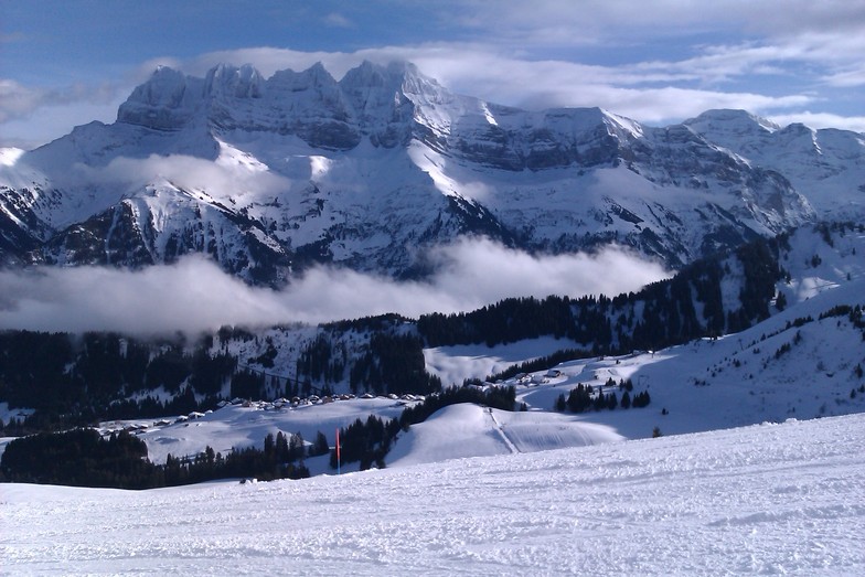
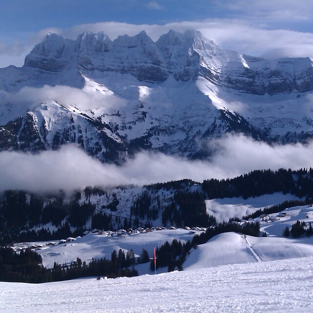
Laatste sneeuwrapporten in de buurt van Champoussin:
Resort is closed for the season. Snowing lightly, refreshing pistes. van La Giettaz en Aravis
| Sneeuwdiepte op de top: | — |
|---|---|
| Sneeuwdiepte beneden: | — |
| Diepte verse sneeuw: | 14 cm |
| Laatste sneeuwval: | 15 May 2026 |
0.0 | Bluebird-poederdagen Verse sneeuw, meestal zonnig, lichte wind. |
|---|---|
0.1 | Poederdagen Verse sneeuw, vrij zonnig, wat wind. |
0.0 | Bluebird-dagen Gemiddelde sneeuw, meestal zonnig, lichte wind. |
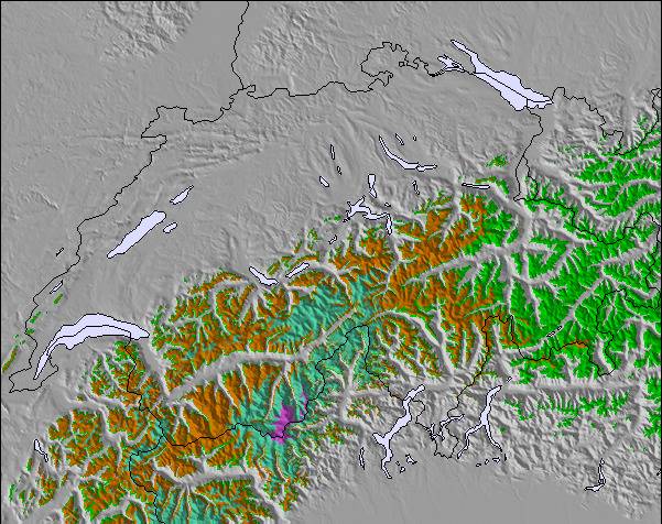
De bovenstaande tabel toont de weersverwachting voor Champoussin op een specifieke hoogte van 1730 m. Onze uiterst precieze weermodellen berekenen sneeuwverwachtingen voor de top, midden en dalstations van Champoussin. Voor weersverwachtingen op andere hoogtes, gebruik de tabbladen boven de tabel. Voor meer weer overzicht, zie de weerkaart van Switzerland.
Klik hier voor meer informatie over sneeuwhoogten en hoe we onze temperaturen berekenen.
Algemeen 4.1 Gebaseerd op 6 Stem(men) en 7 beoordelingen
A gem of peace and great skiing with access to the full Porte du Soleil. As of winter 2017/18 the Morgins and Champoussin ski areas are now under new management and over the next few years the lifts and snow making facilities will all be hugely improved which will no doubt bring the crowds so go now whilst it's still relatively undiscovered. Slopes are quiet and a mix for all levels. For apres-ski and lunch/dinner the fabulous Italian "Amici" is the top pick (great food and location) followed by Le Poussin. The views are stunning and it's a great choice for families with quiet sunny nursery slopes and a great ski school next to the Amici Restaurant.
Gareth Lewis van United Kingdom schrijft:
A gem of peace and great skiing with access to the full Porte du Soleil. As of winter 2017/18 the Morgins and Champoussin ski areas are now under new management and over the next few years the lifts and snow making facilities will all be hugely improved which will no doubt bring the crowds so go now whilst it's still relatively undiscovered. Slopes are quiet and a mix for all levels. For apres-ski and lunch/dinner the fabulous Italian "Amici" is the top pick (great food and location) followed by Le Poussin. The views are stunning and it's a great choice for families with quiet sunny nursery slopes and a great ski school next to the Amici Restaurant.

 Nearest